Finally, some proper snow.
After taking on an icy hike around the Tilberthwaite/Little Langdale area, temperatures in England continued to plummet and snow arrived. As usual, it didn’t take long for stories to arrive, such as people hiking snowy fells up to their waist and getting lost, and people ignoring road closure signs and getting stuck driving on mountain passes.
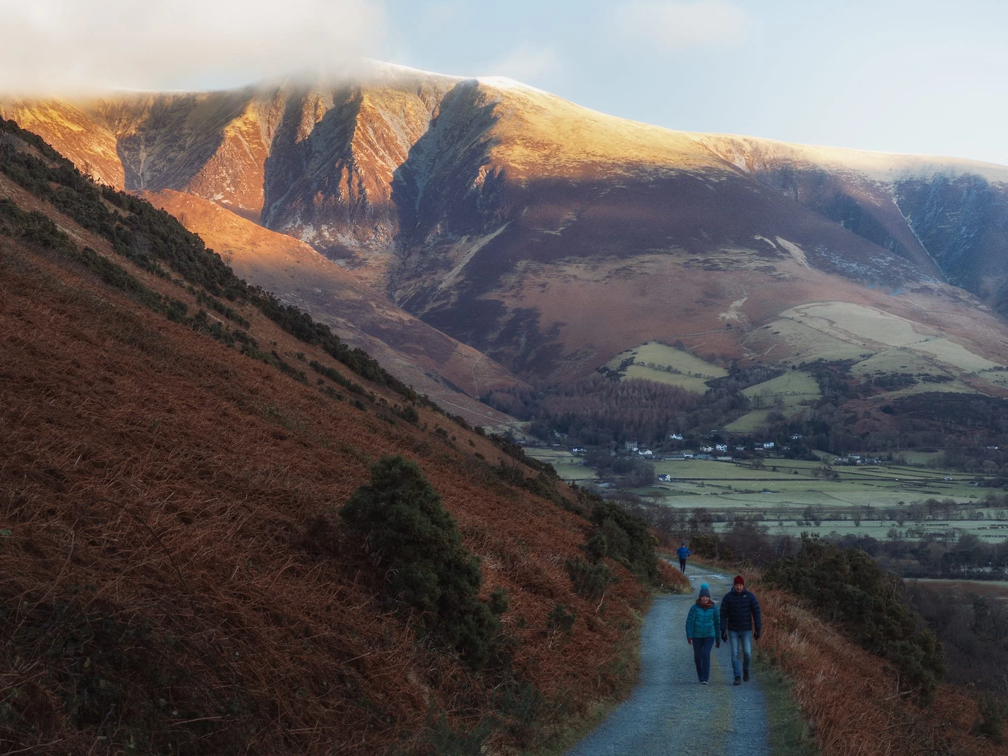
Over the weekend, we plotted a fairly straightforward route near Keswick. Starting at Nest Brow, taking the Castlerigg Lane towards the mystical Castlerigg Stone Circle, then heading east to Tewet Tarn before crossing the col between High Rigg and Low Rigg in St. John’s in the Vale and crossing all the fields at Dalebottom back to the car. A nice 5.5-mile hike with some beautiful winter scenes and snowy fells.
The light could’ve been better but we definitely made the most of what was available.
All photos taken on my Sony α7ii using my Sony 24-240mm F3.5-6.3 OSS zoom lens. RAWs converted in Lightroom, merged in Photomatix, and edited in Photoshop.
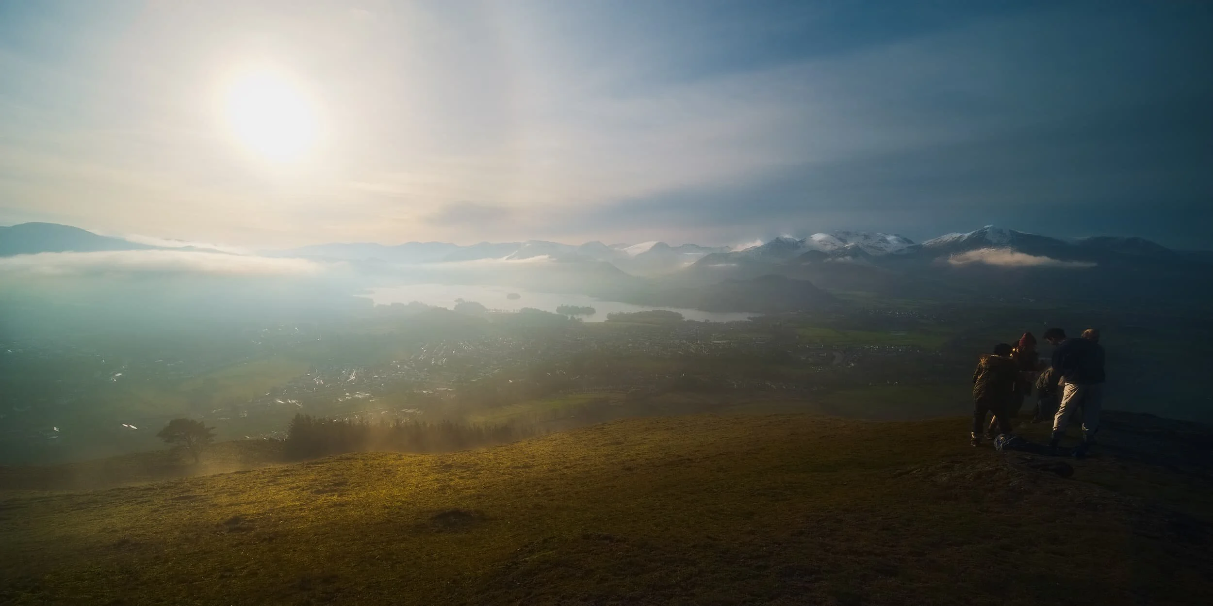
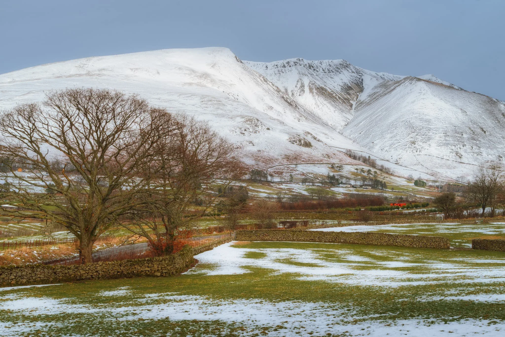
From Nest Brow, the view back down valley took in the fantastic Helvellyn range of fells, covered in snow, with golden light running over the top. Plenty of folk were sledging around here.
We took the old Castlerigg Lane north towards the stone circle, dodging ice wherever we could. When we came across these two bare trees, I framed the distant Blencathra using the trees’ branches as an arch.
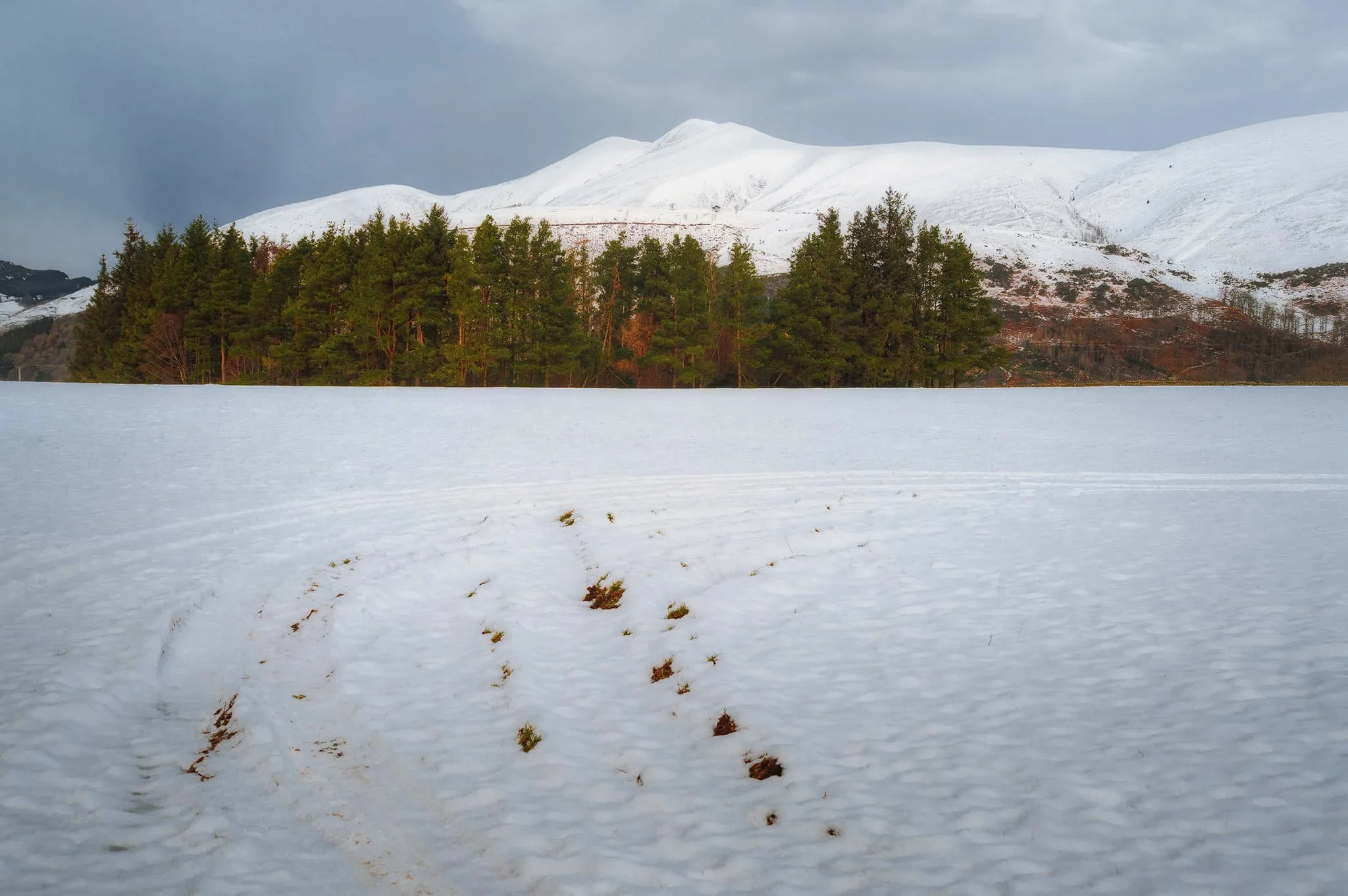
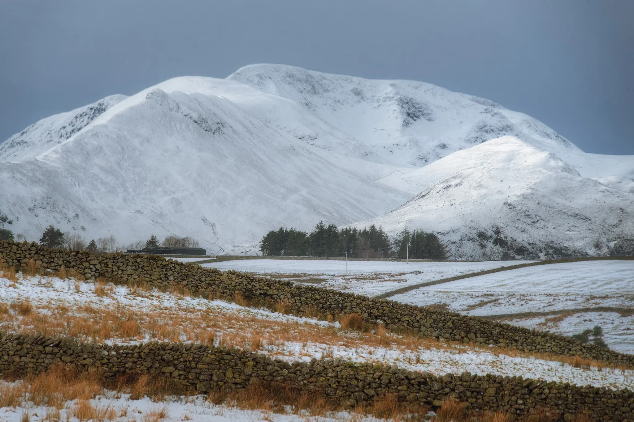
Across the snow-covered fields towards the pristine peak of Skiddaw.
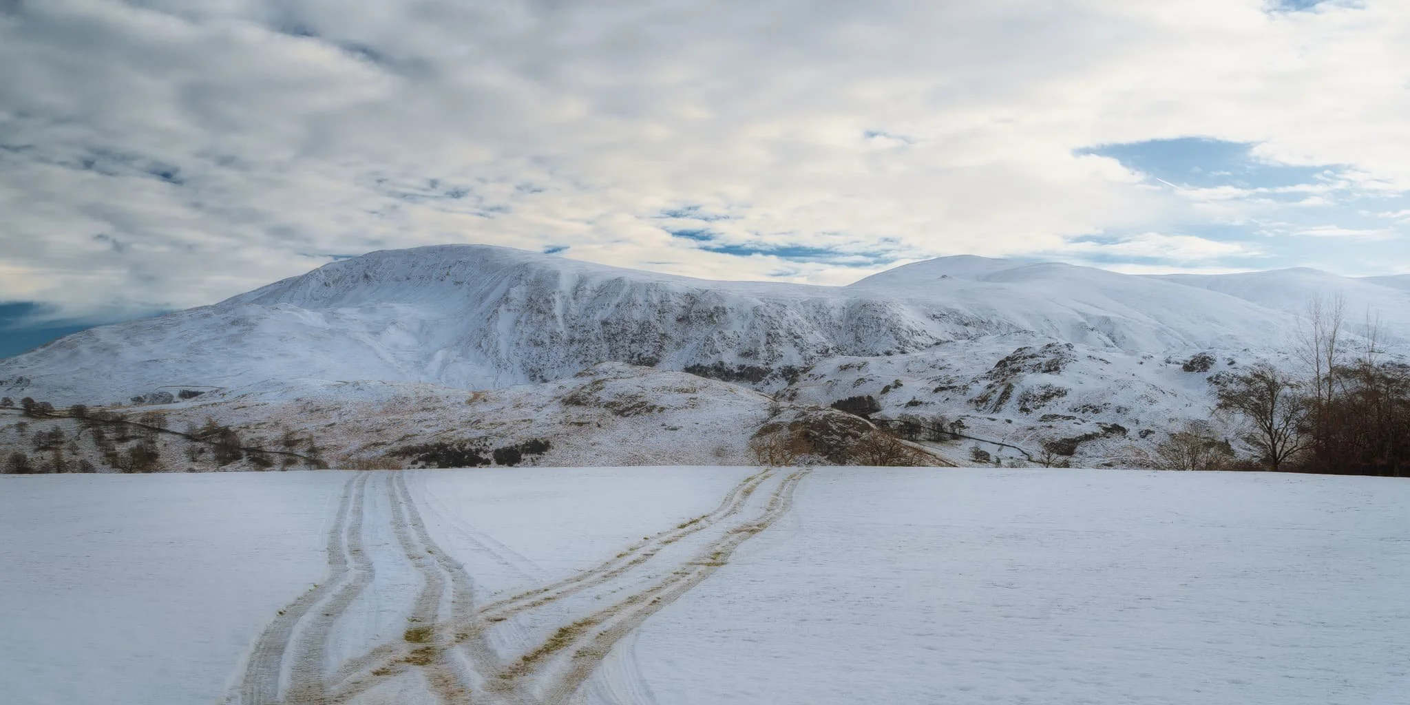
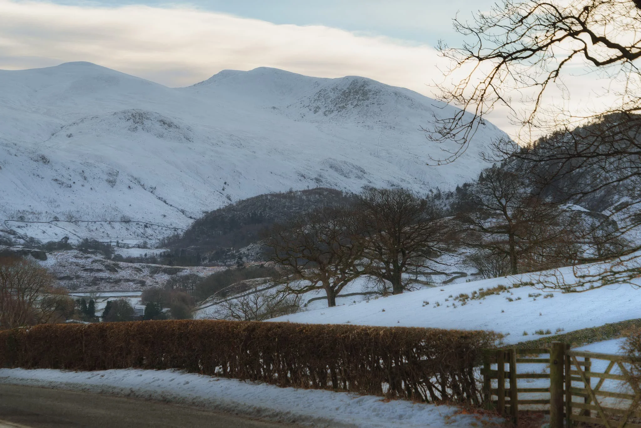
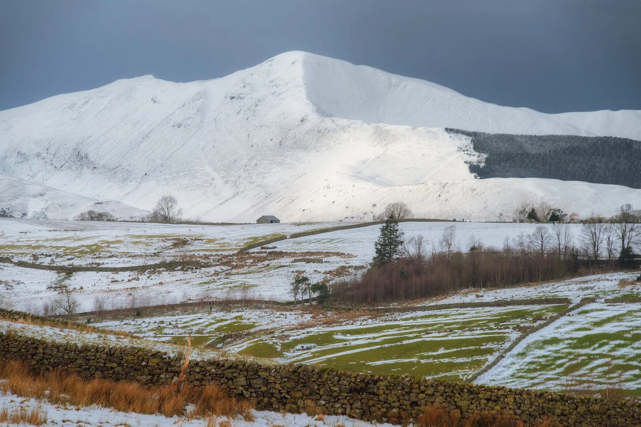
Across the fields eastwards, the end of Helvellyn range at Great Rigg provides a beautiful panorama. A farmer’s quad tracks provide a handy compositional leading line.
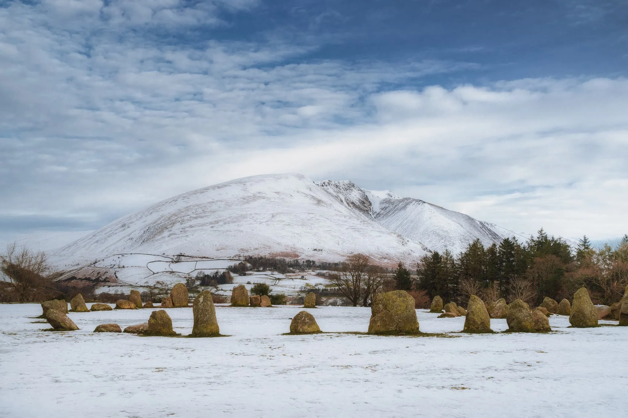
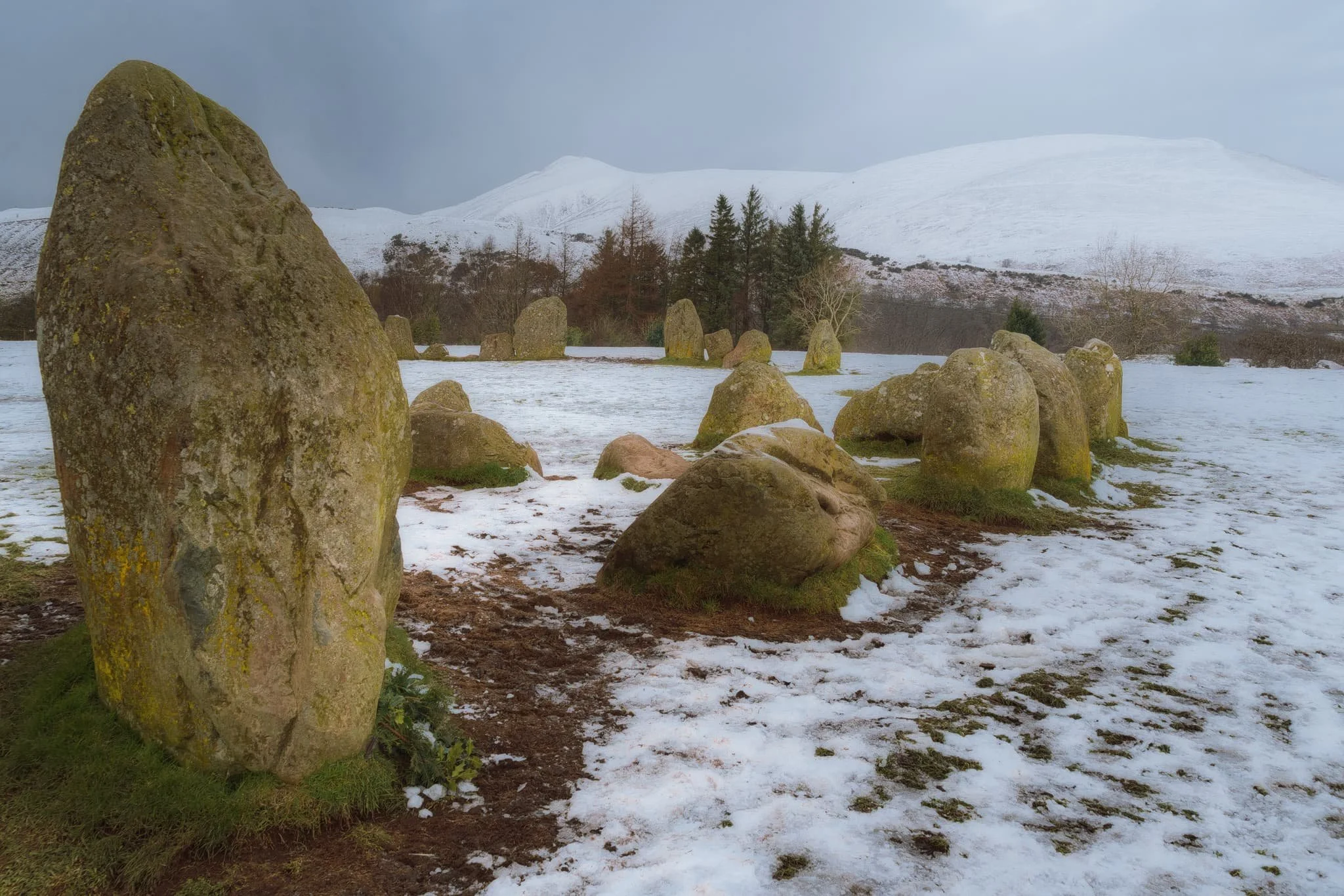
The ancient Castlerigg stone circle, with the beautiful Blencathra behind.
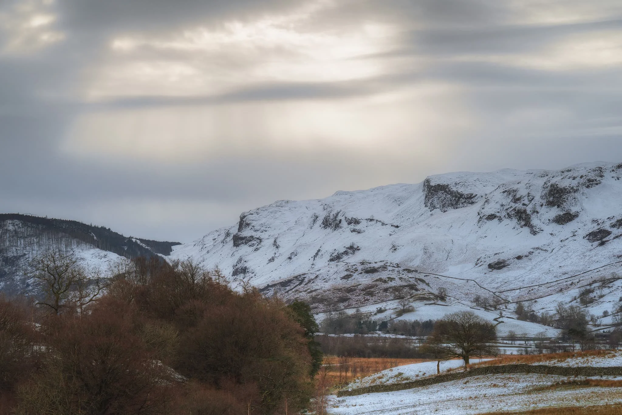
From the west a weather front soon killed the light with low clouds, rendering the distant fells in a soft yet moody light.
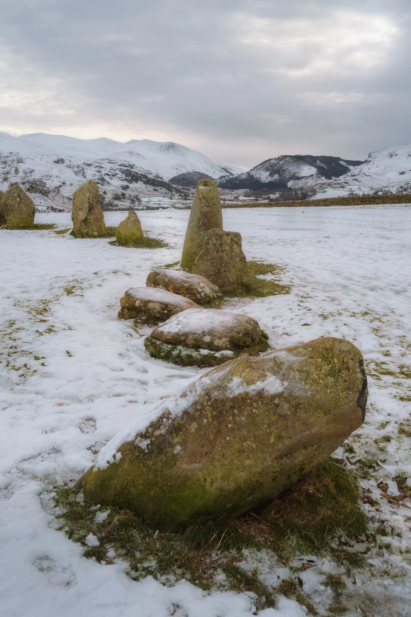
Looking south from the stone circle towards the Helvellyn and Thirlmere fells. Castlerigg stone circle was probably constructed around 3200 BCE, making it roughly 5,000-years old.
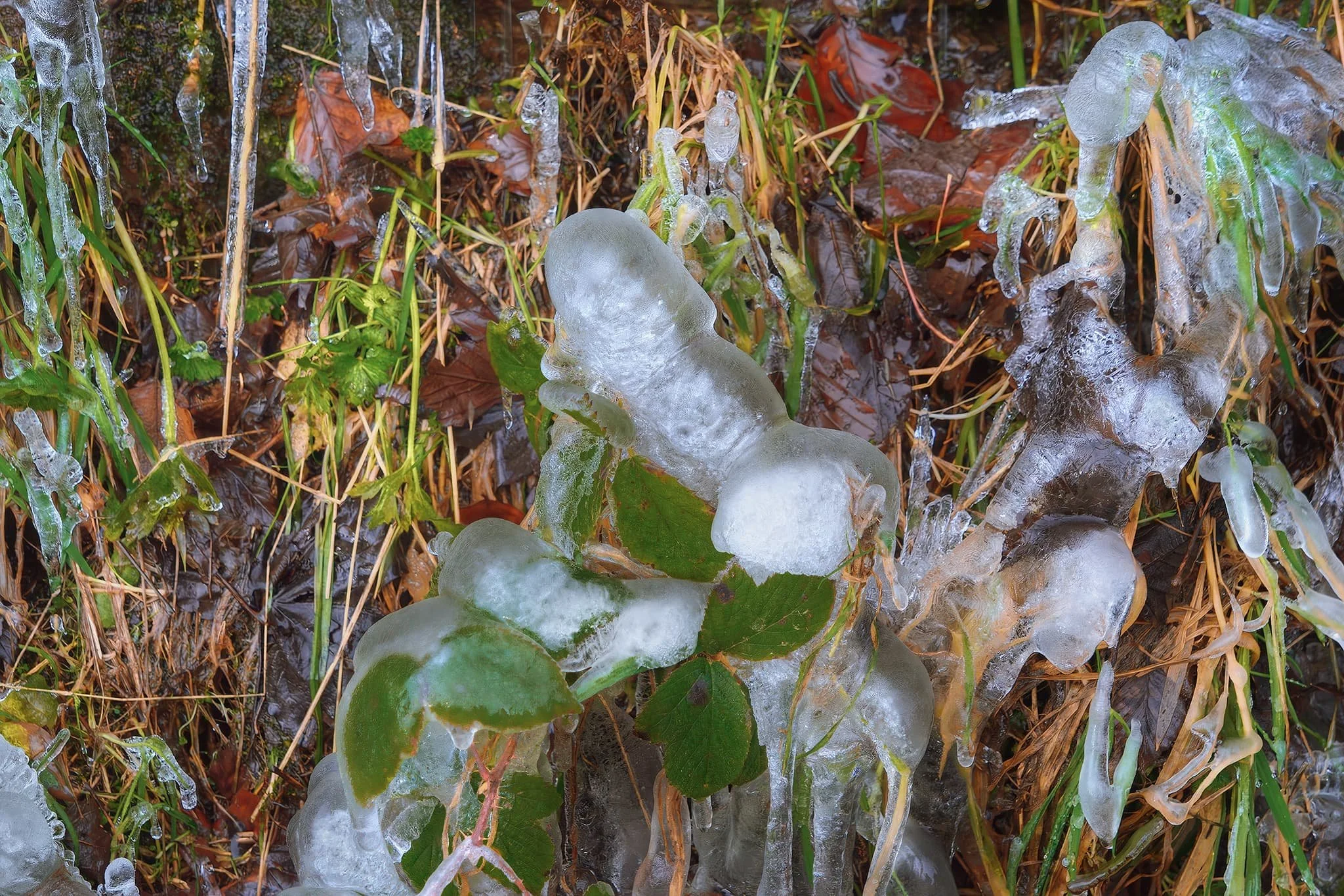
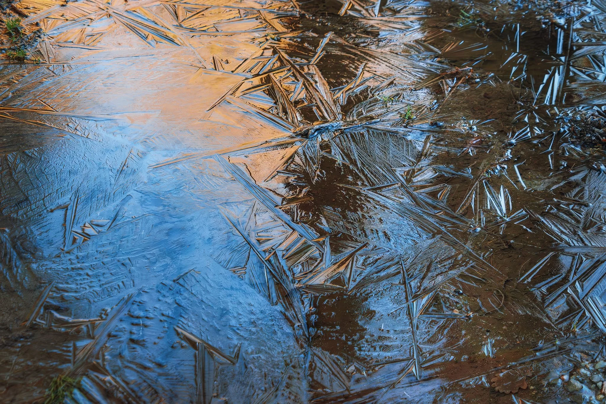
Ice stalagmites developing from dripping freezing water at the bottom of a drystone wall.
The last of the light, looking back towards the Thirlmere fells. Layers of cloud temporarily reveal the sun in the form of crepuscular rays of “God rays”. Just truly magical.
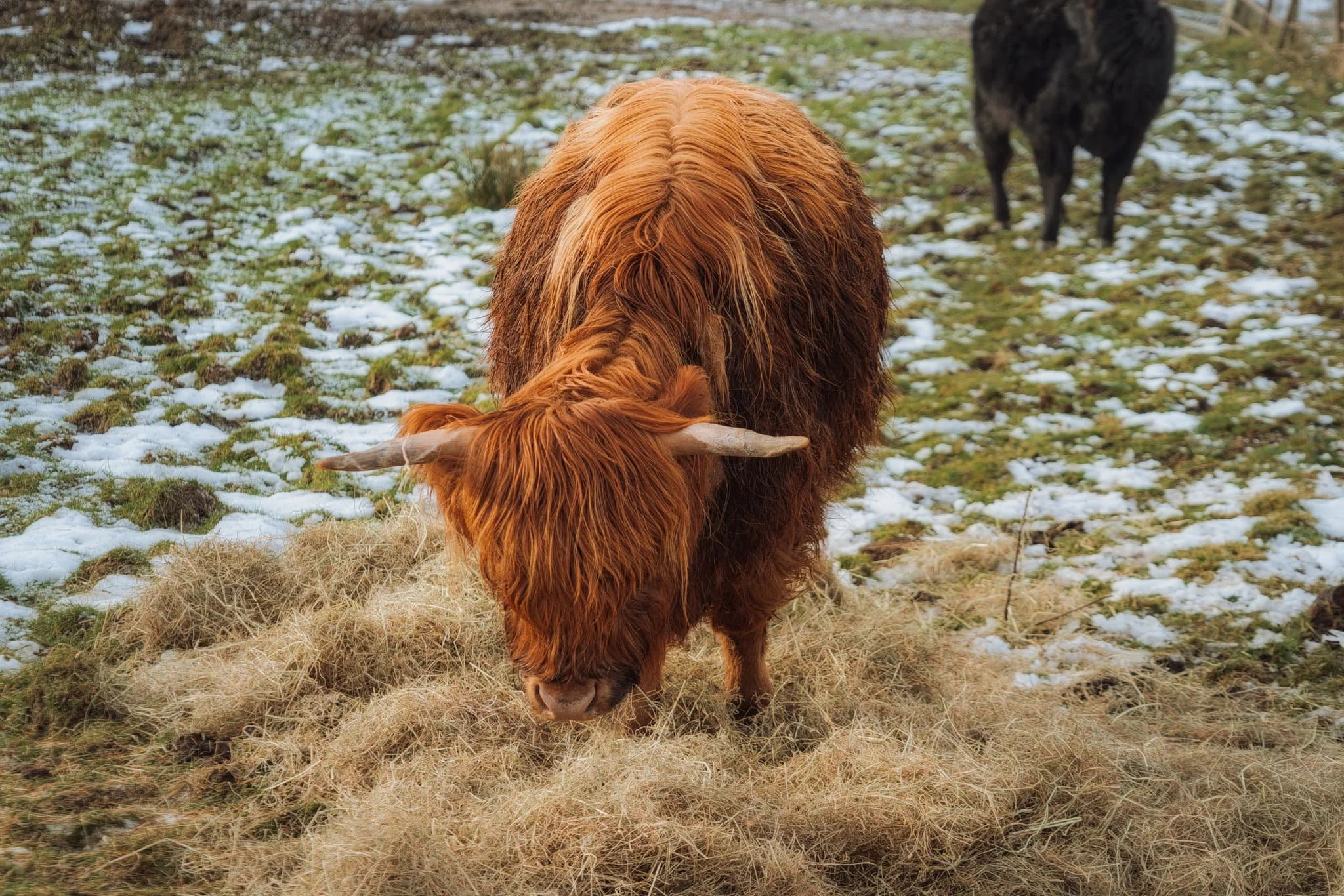
A beautifully shaggy Highland cow enjoying its fresh hay.
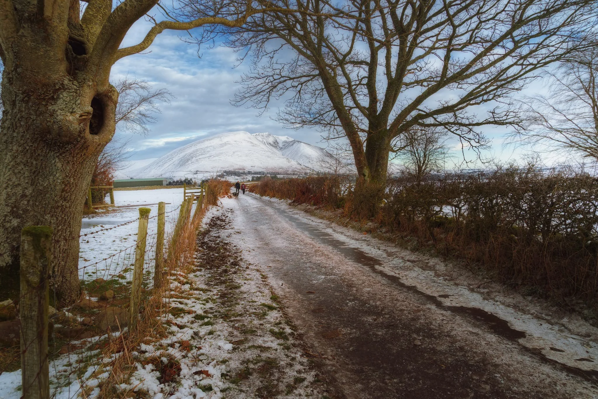
As we start climbing the path towards Tewet Tarn, this view of Blencathra stops me in my tracks.
Nearing the plateau where Tewet Tarn is located, I scan the westerly horizon at all the beautifully snowy fells. I zoom in tight, to pick each one individually. This I believe is Crag Hill (839 m/2,753 ft).
And this one I know to be Grisedale Pike (791 m/2,595 ft).
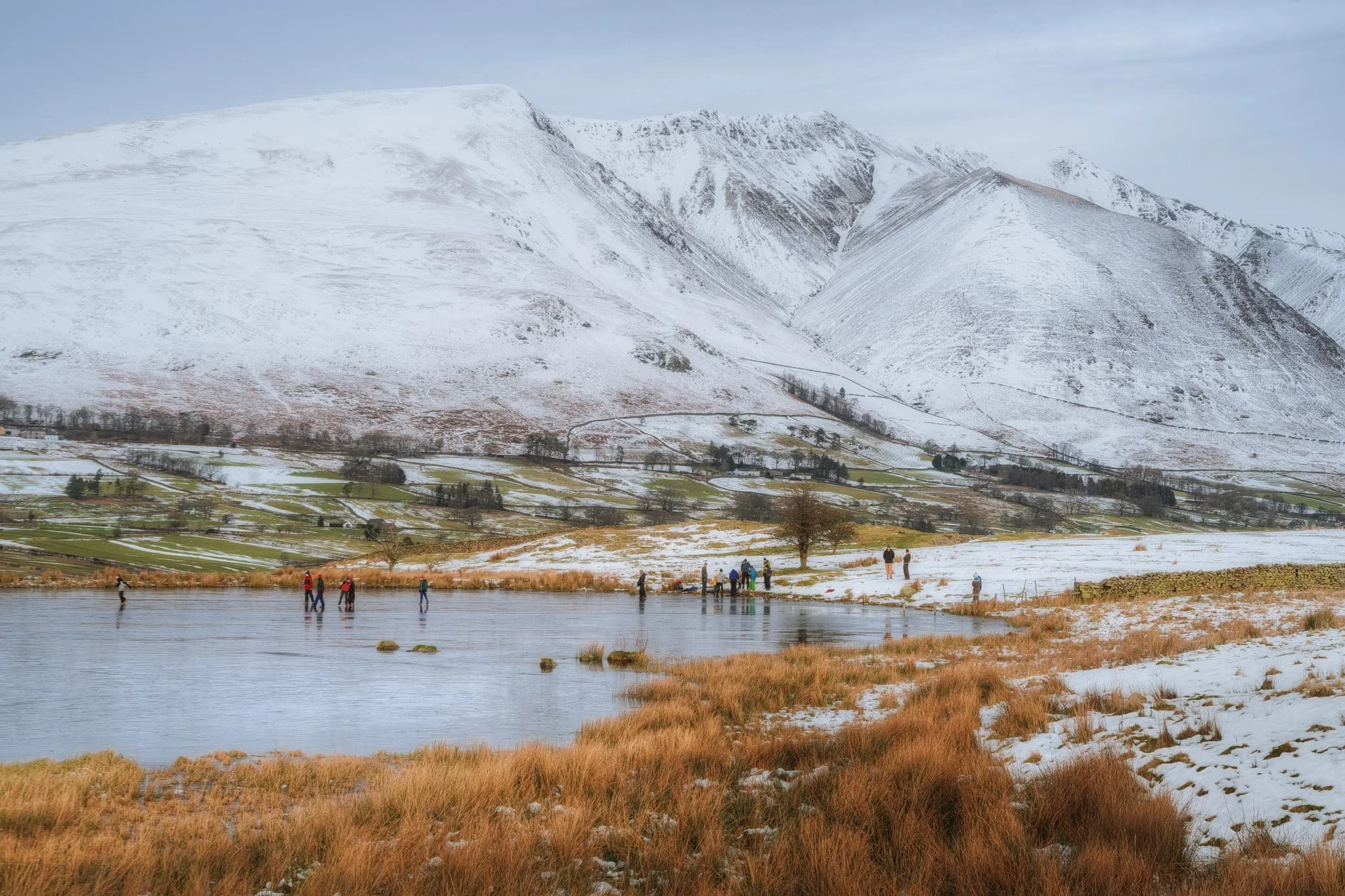
I’ve lived in Cumbria for 12-ish years, and been in my fair share of Cumbrian snow, but this was the first time I’d ever seen a tarn completely frozen. This is Tewet Tarn, with Blencathra looming behind. Families enjoyed skating on the tarn and generally mucking about.
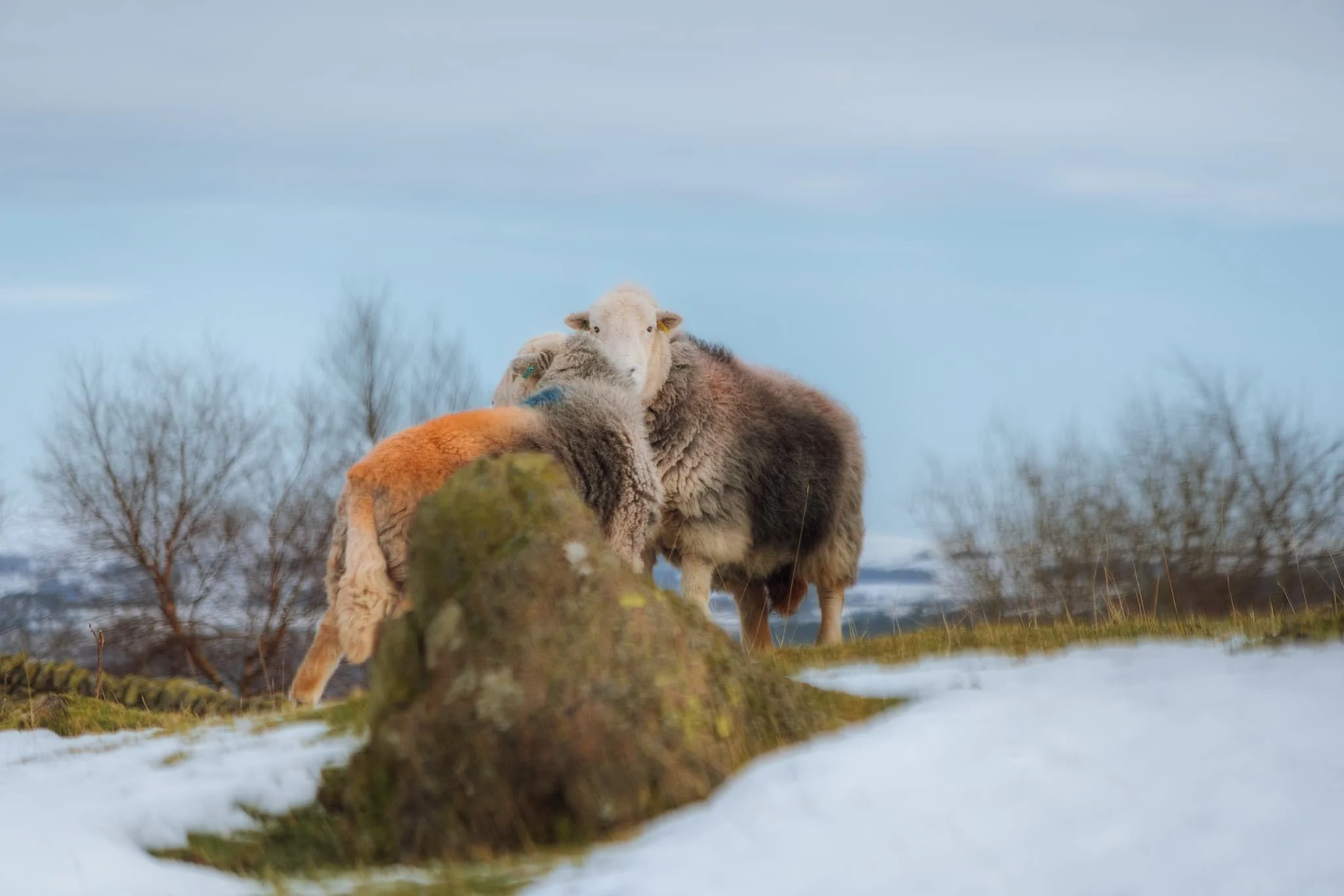
Near the tarn, Herdwick sheep were grazing about in the snow being their usual hardy self.