
The grandest valley beneath the tallest mountain.
The last time we visited Glen Nevis was way back in Autumn 2014, which was our very first time in the Glencoe/Lochaber area. This was in the prime of my HDR days.
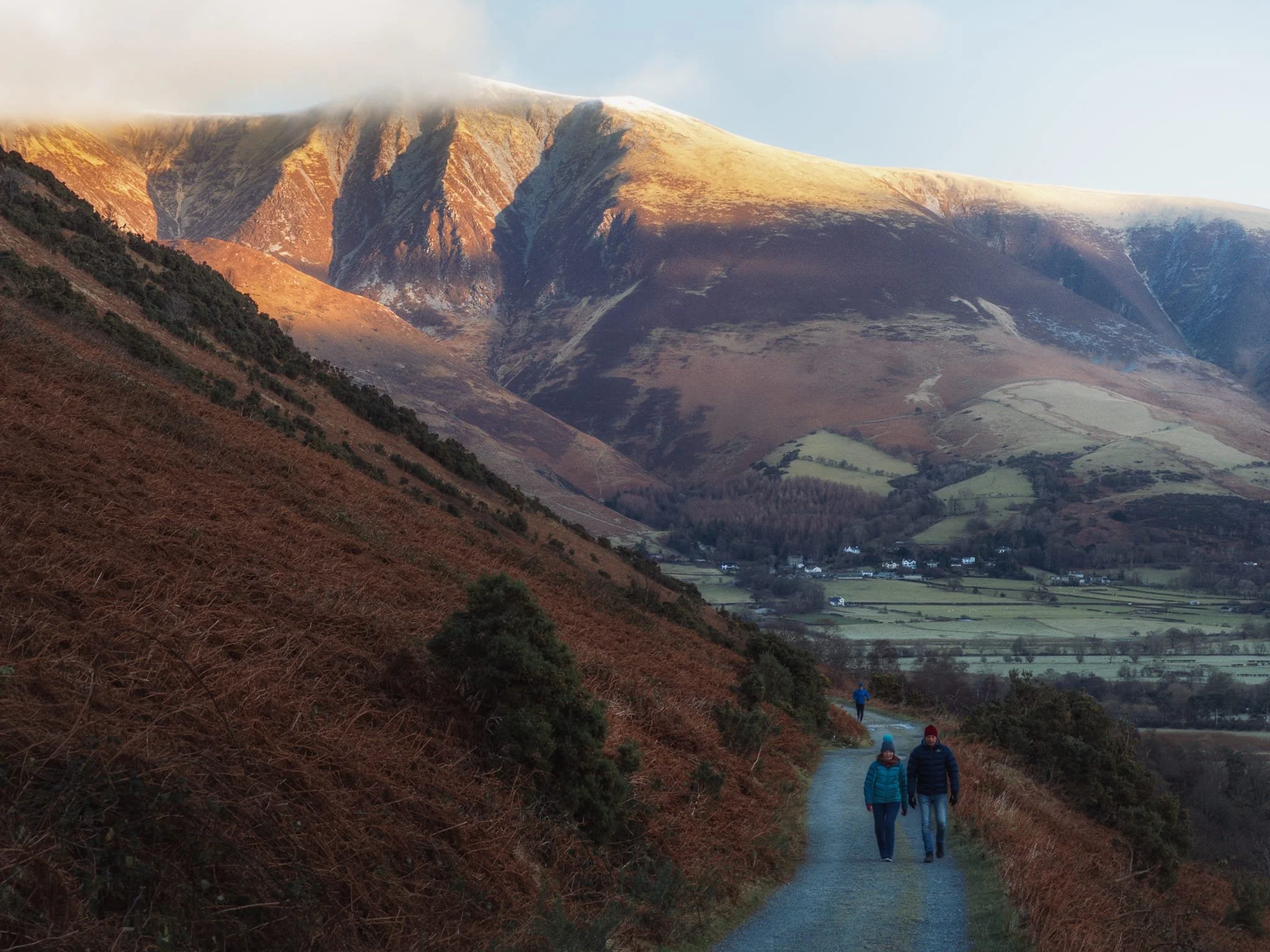
Almost 10-years on, we returned with greater fitness and better vision. We elected to take the valley bottom riverside walk from the Ben Nevis Visitor Centre all the way to Polldubh falls and back. A solid 12–13km hike.
The section from the visitor centre to Polldubh falls was definitely not fun in places; the trail often became indistinct, with areas of sludgy bog and slippery mud. Nevertheless, the views were simply astounding wherever you looked, and we were blessed once again with glorious weather.
Photos taken on my Fujifilm X-T2 using my Vivitar “Series 1” 28–105mm f2.8–3.8 zoom and Laowa 9mm f2.8 ultra-wide lenses. RAWs converted in Capture One for iPad, developed using RNI Films’ Kodachrome film profiles, and finalised in Affinity Photo 2 for iPad.
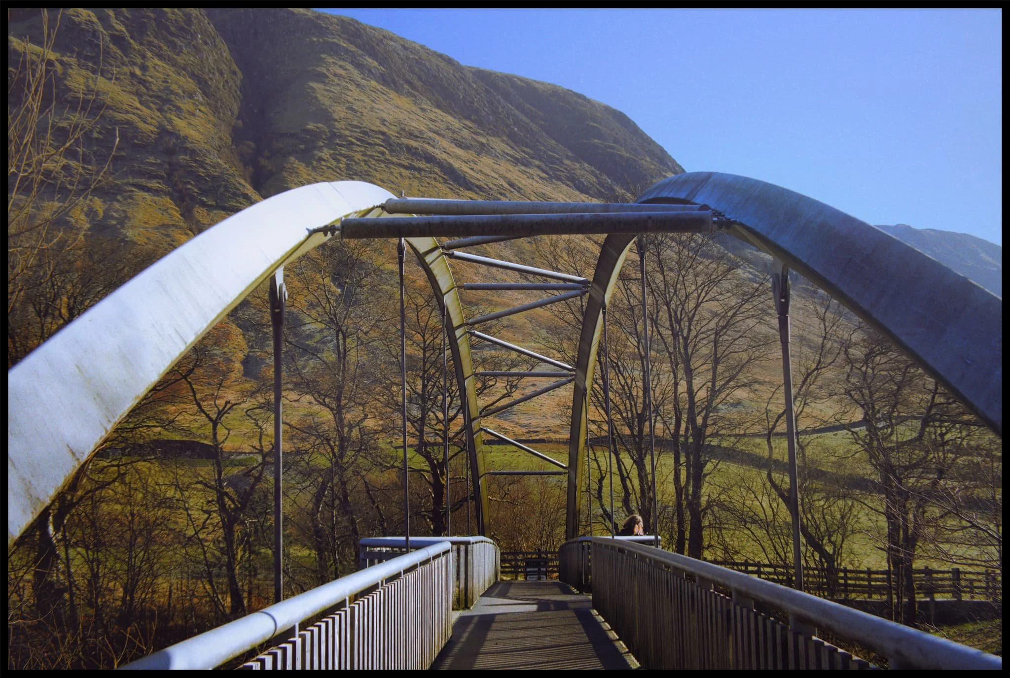
A relatively new and modern bridge crosses the River Nevis from the visitor centre and leads you along the riverside trail. A lot of people take this route to begin their ascent up all 1,345 m (4,413 ft) of Ben Nevis.
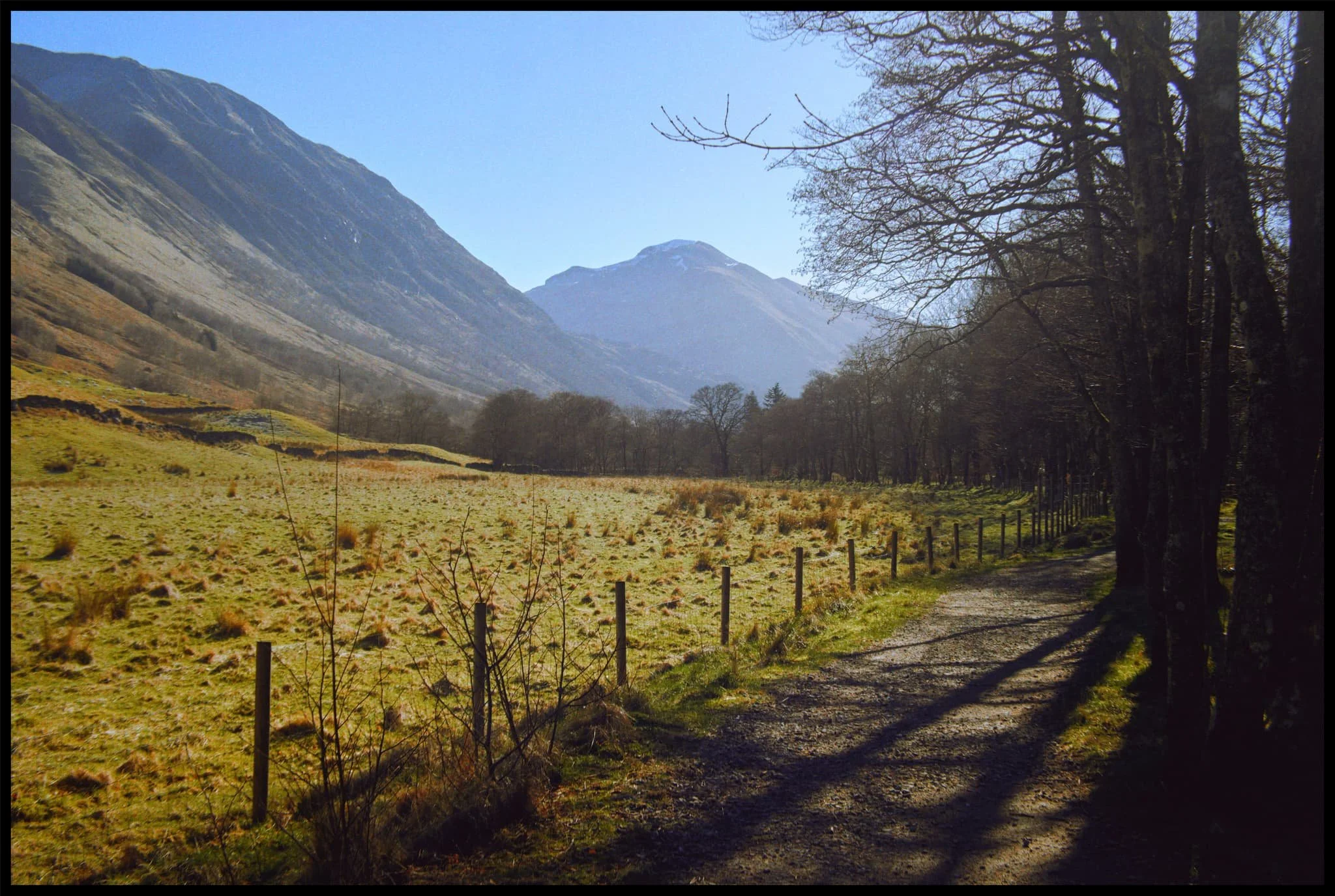
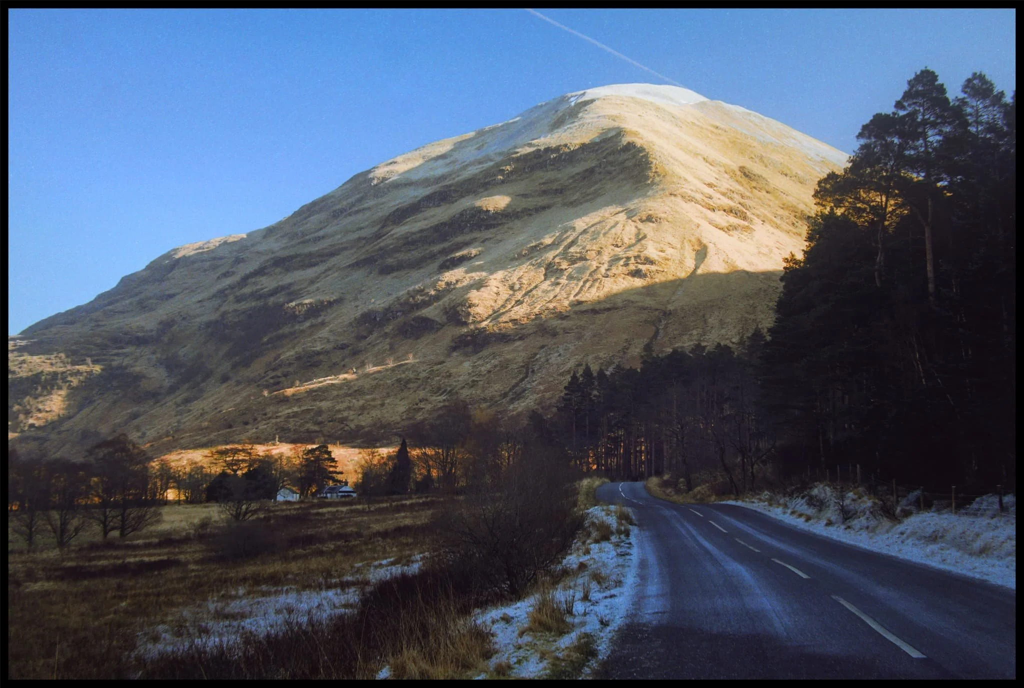
Following the riverside trail, the view down the glen opens up and reveals the massive shape of Sgùrr a’ Mhàim (1,099 m/3,606 ft). Its name means “rocky peak of the rounded hill”.
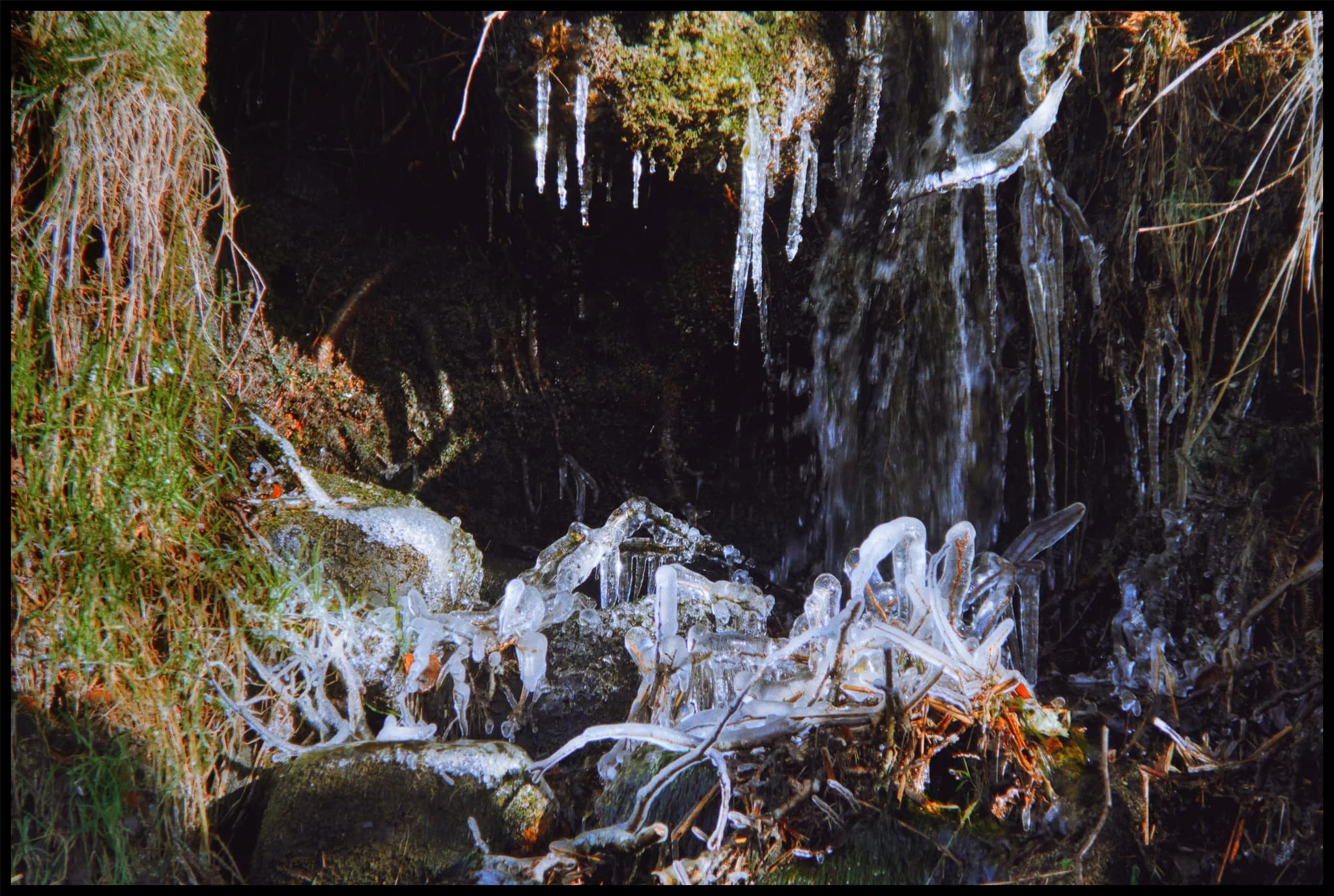
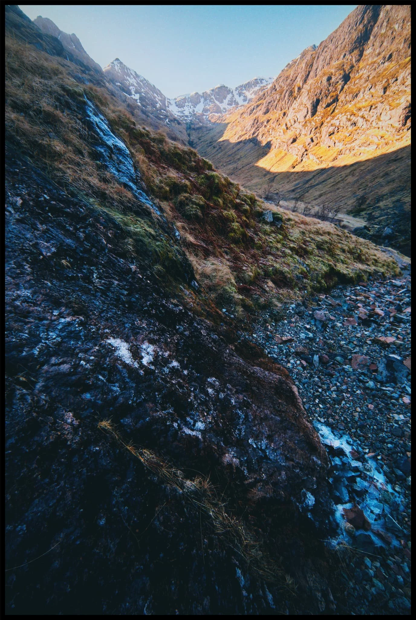
Despite the bright winter sun, it was still cold enough in the shade to freeze the water running down the valley sides.
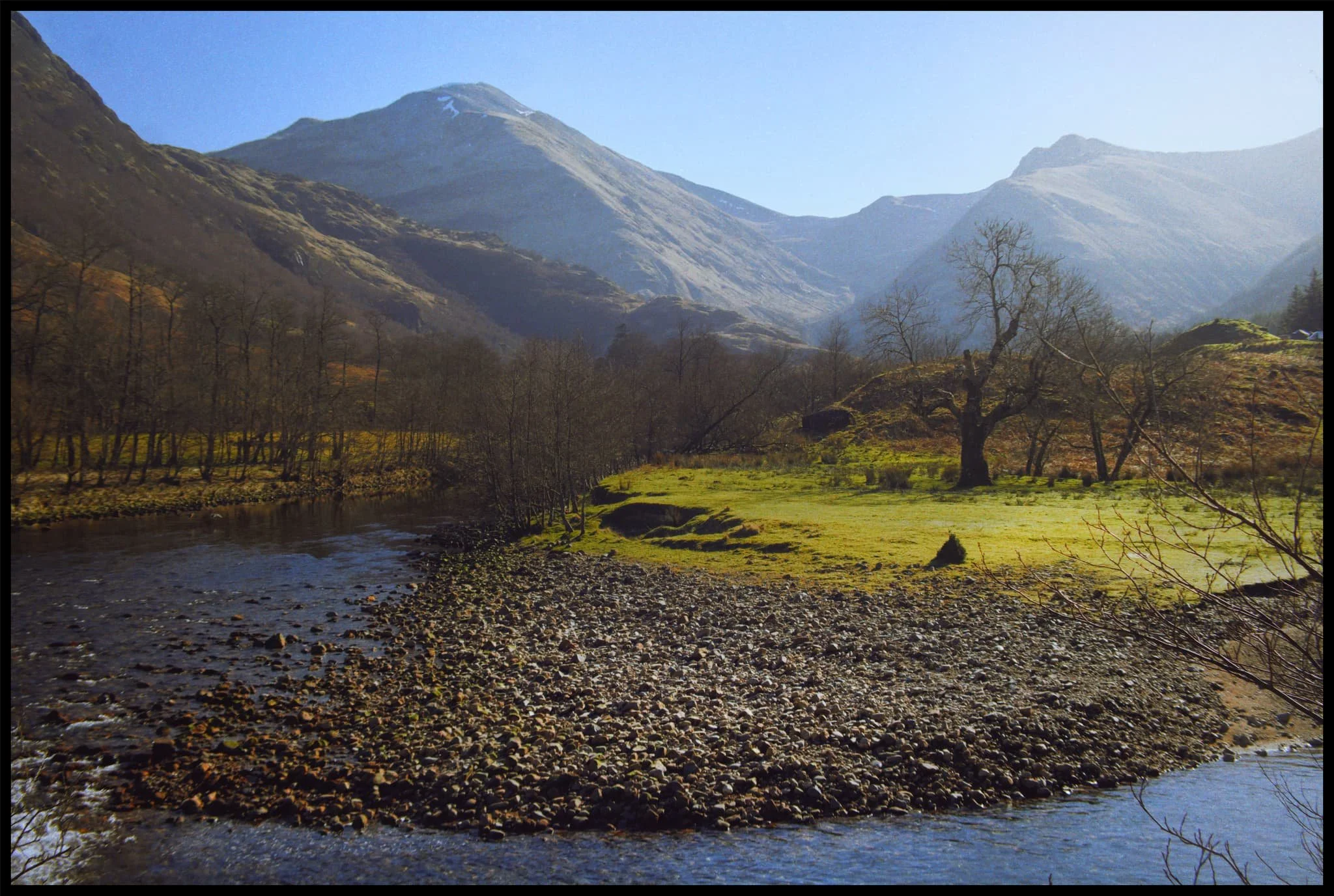
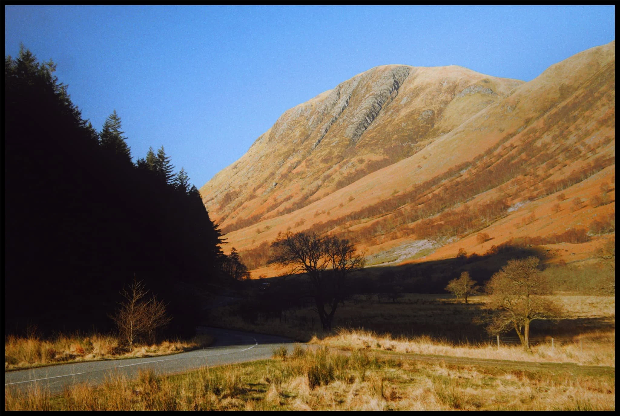
After navigating a meander in the river, the neighbour of Sgùrr a’ Mhàim becomes visible: Stob Bàn (999 m/3,278 ft), which means “white peak”.
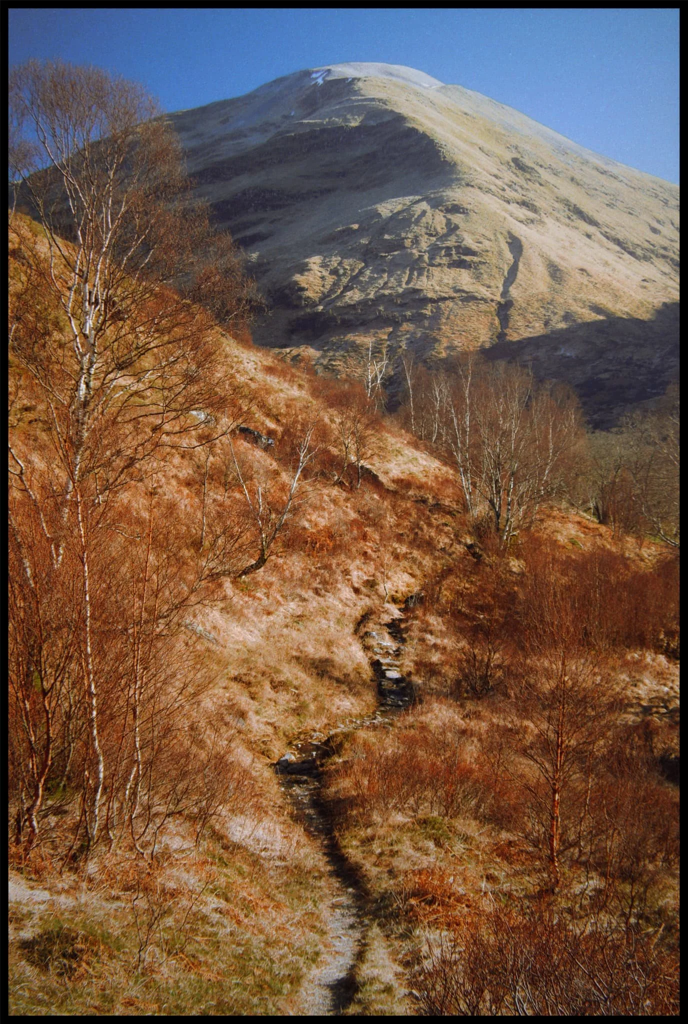
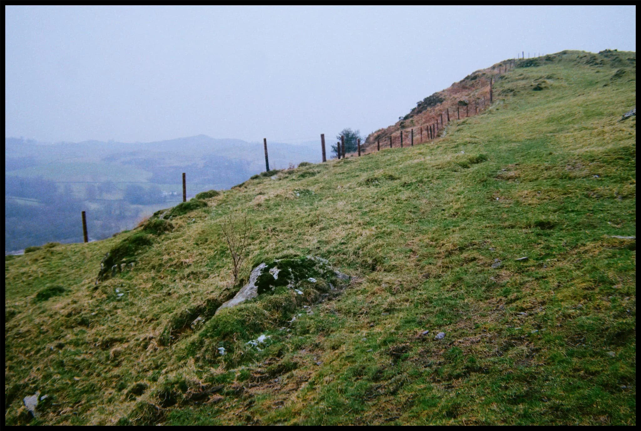
Nearing Polldubh falls, the path climbs up and away from the river. Doing so revealed this delightful composition towards Sgùrr a’ Mhàim, which I had to nab.
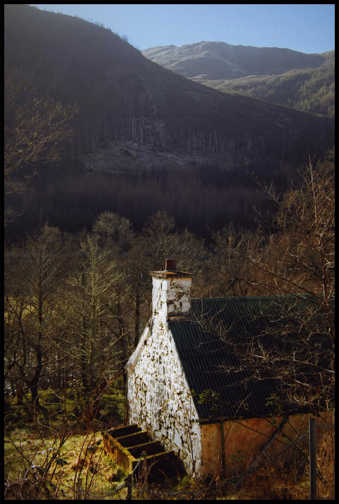
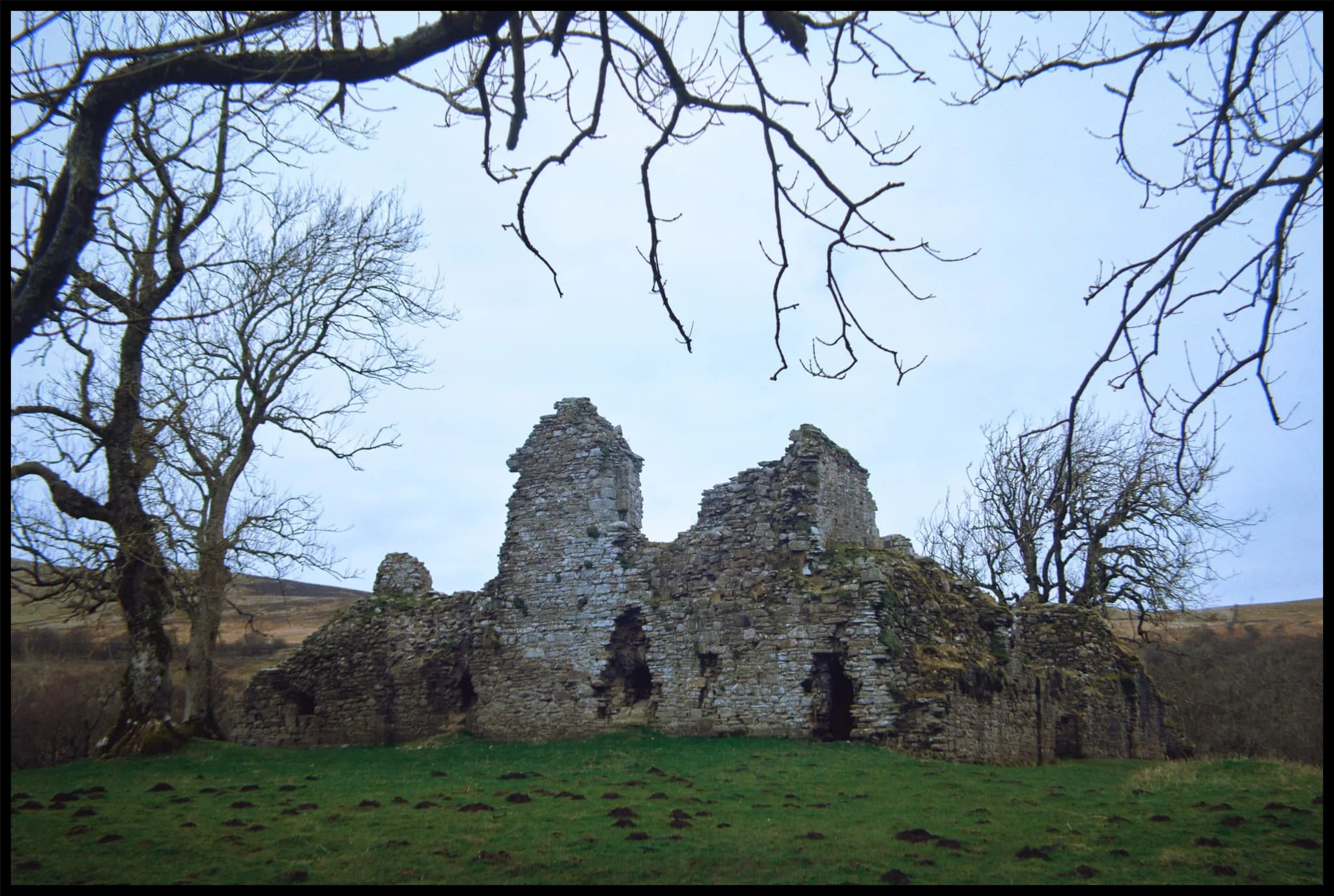
An abandoned, white-washed cottage. I don’t know if it’s used as a mountain bothy now or not.
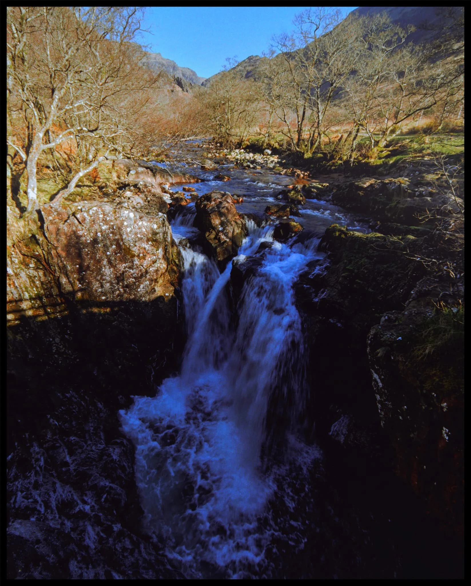
Polldubh falls, with upper Glen Nevis in the distance. Quite an arresting sight, and developing a powerful waterfall.
Sgùrr a’ Mhàim is often mistaken to have snow around its peak. In fact, it’s usually white quartz you can see, which gives the mountain its lighter capped colour.
Heading back up the glen from the falls, the craggy shoulders of Meall an t-Suidhe (711 m/2,333 ft) are drenched in late afternoon winter sun.
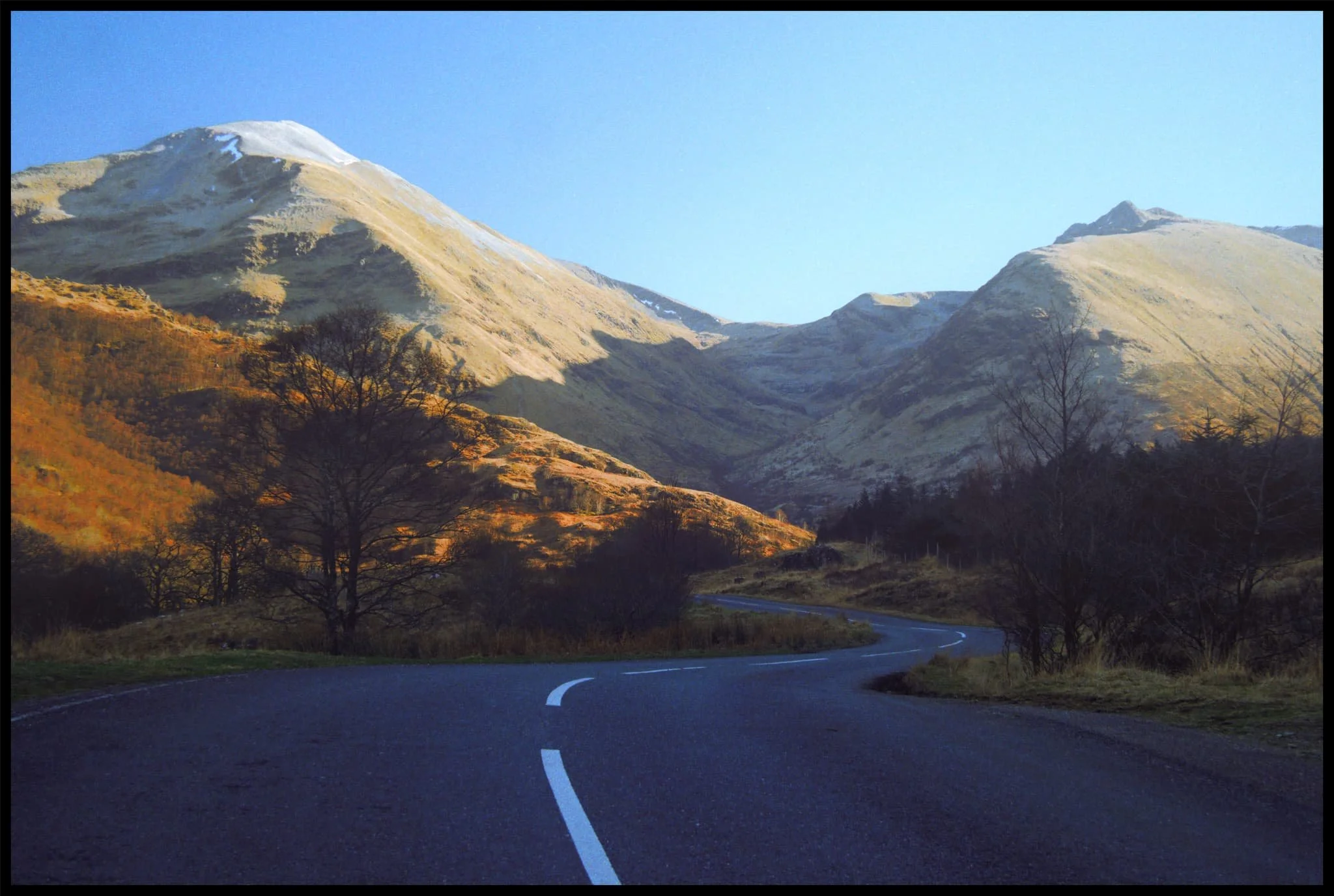
I couldn’t resist this road shot featuring the two towering giants at the head of the glen. The road was quiet enough to allow us to walk alongside it all the way back to the visitor centre.
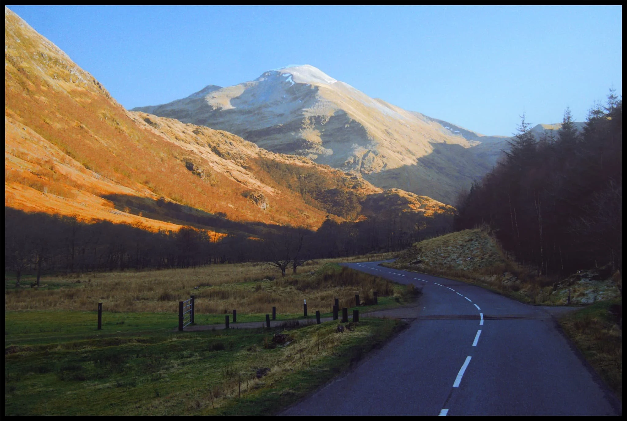
One last look back at Sgùrr a’ Mhàim before returning the visitor centre.
A challenging walk, in places, but a grand experience nevertheless.