There’s something awe-inspiring yet slightly unnerving about a giant hole in the ground.
The Yorkshire Dales is known for many things: beautiful waterfalls everywhere, isolated peaks, perfectly sculpted valleys… and also, caves. It’s home to some of the most extensive cave systems in the UK.
This is largely because of the underlying geology. Most of the Yorkshire Dales features Carboniferous limestone, which is soluble in weakly acidic water, such as rain. As a result, millennia of glacial action and weather erosion has given rise to a karst landscape dotted with deep potholes that lead down into a myriad of cave systems. It’s in the Yorkshire Dales that the UK’s longest cave system—and the world’s 13th longest—can be found: the Three Counties system, which is 53 miles long.
Down the western flank of Pen-y-Ghent, one of the Three Peaks of the Yorkshire Dales, one can find a 60ft deep chasm in the earth called Hull Pot. It is the remnant of a cave with a collapsed roof.
It is extremely impressive.
All photos taken on my Fujifilm X-T2 using my Vivitar “Series 1” 28–105mm f2.8–f3.8 zoom lens and a Laowa 9mm f/2.8 prime ultra-wide. RAW files were converted with Capture One for iPad, developed in RNI Films, and finished in Affinity Photo for iPad.
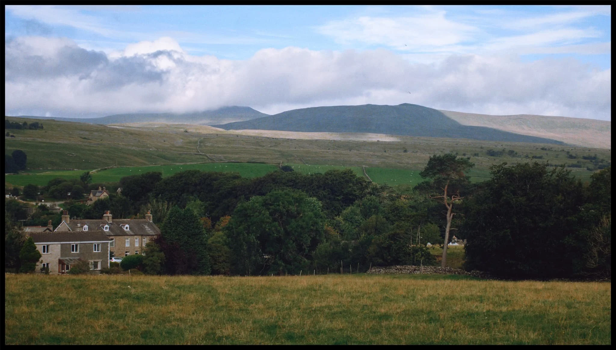
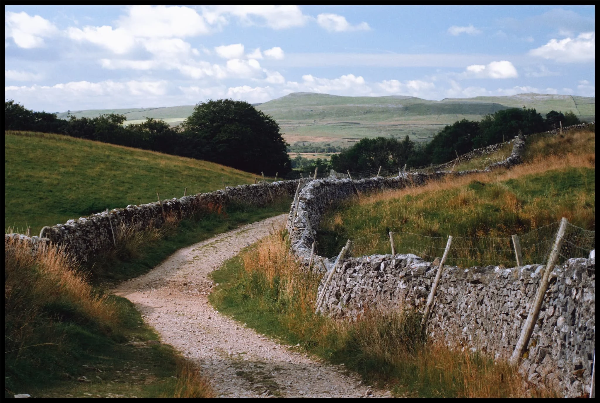
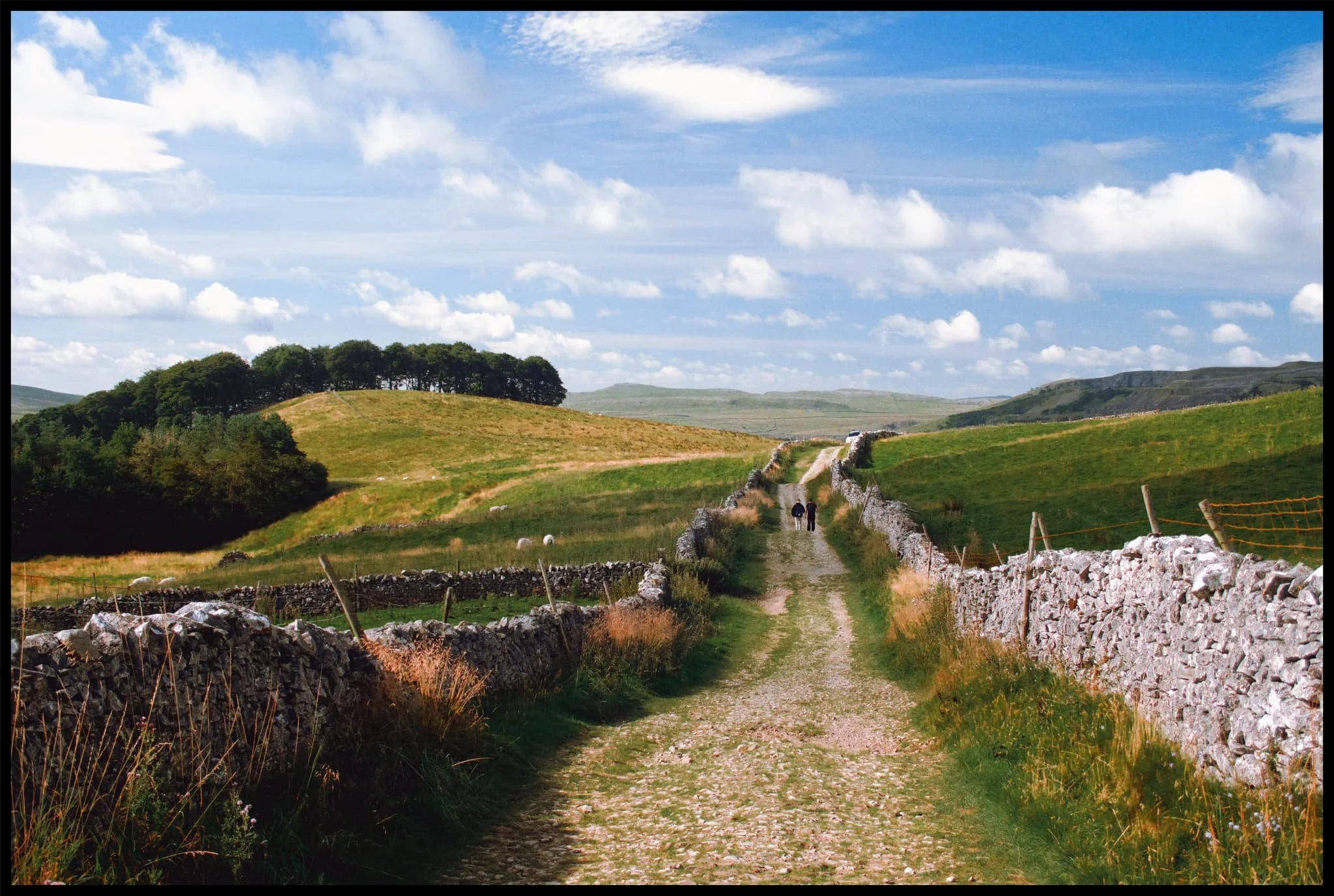
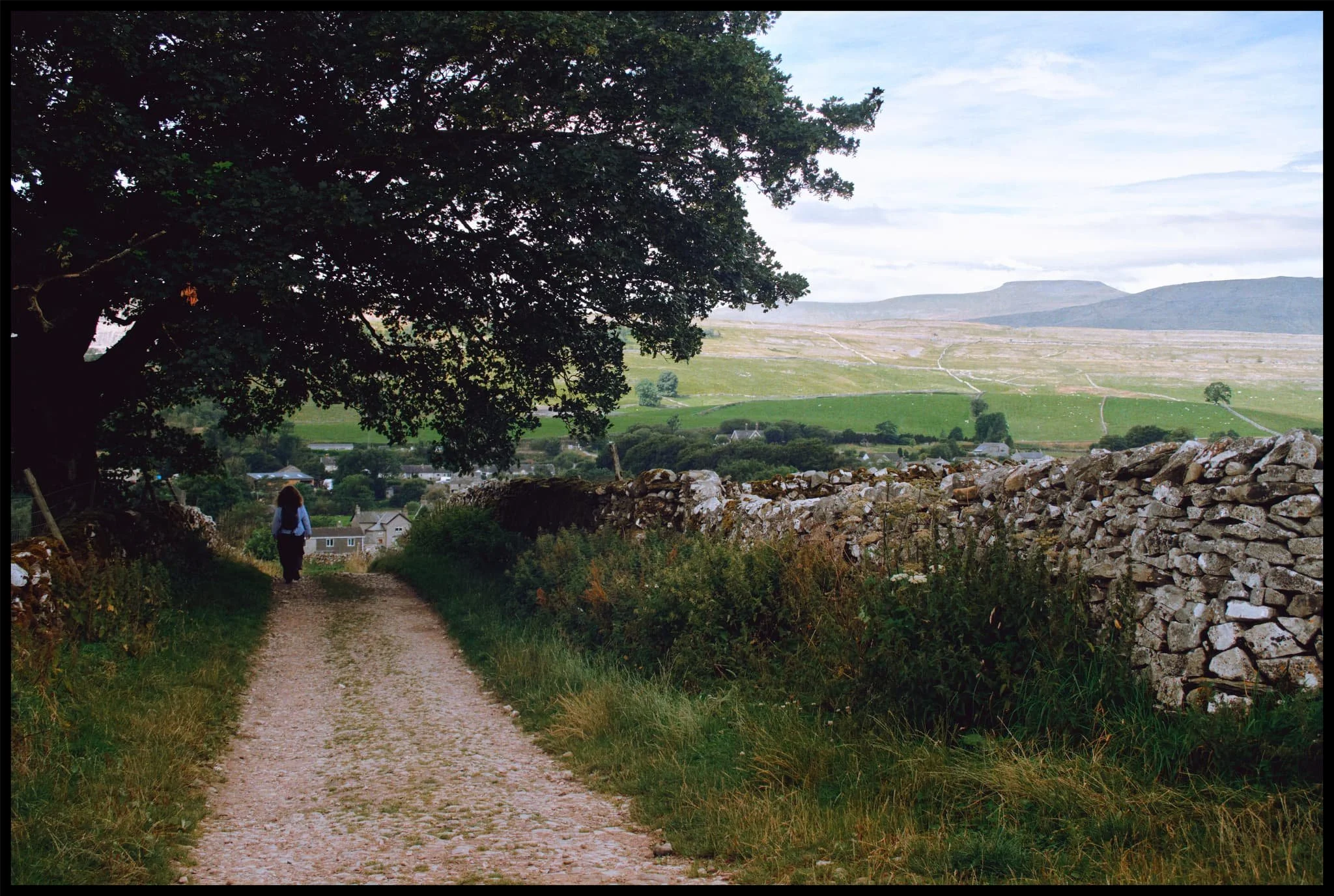
The route to Hull Pot is simple enough and starts at the small village of Horton in Ribblesdale. Heading up the Pennine Bridleway, views quickly open up looking back to Ingleborough.
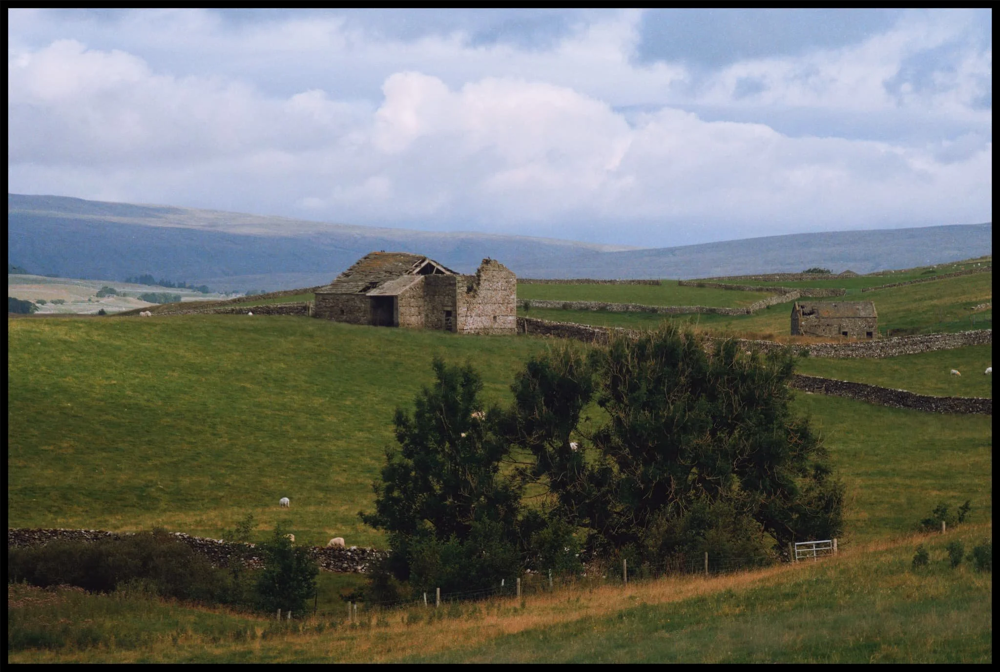
The characteristic barns of the Yorkshire Dales, some in a better condition than others.
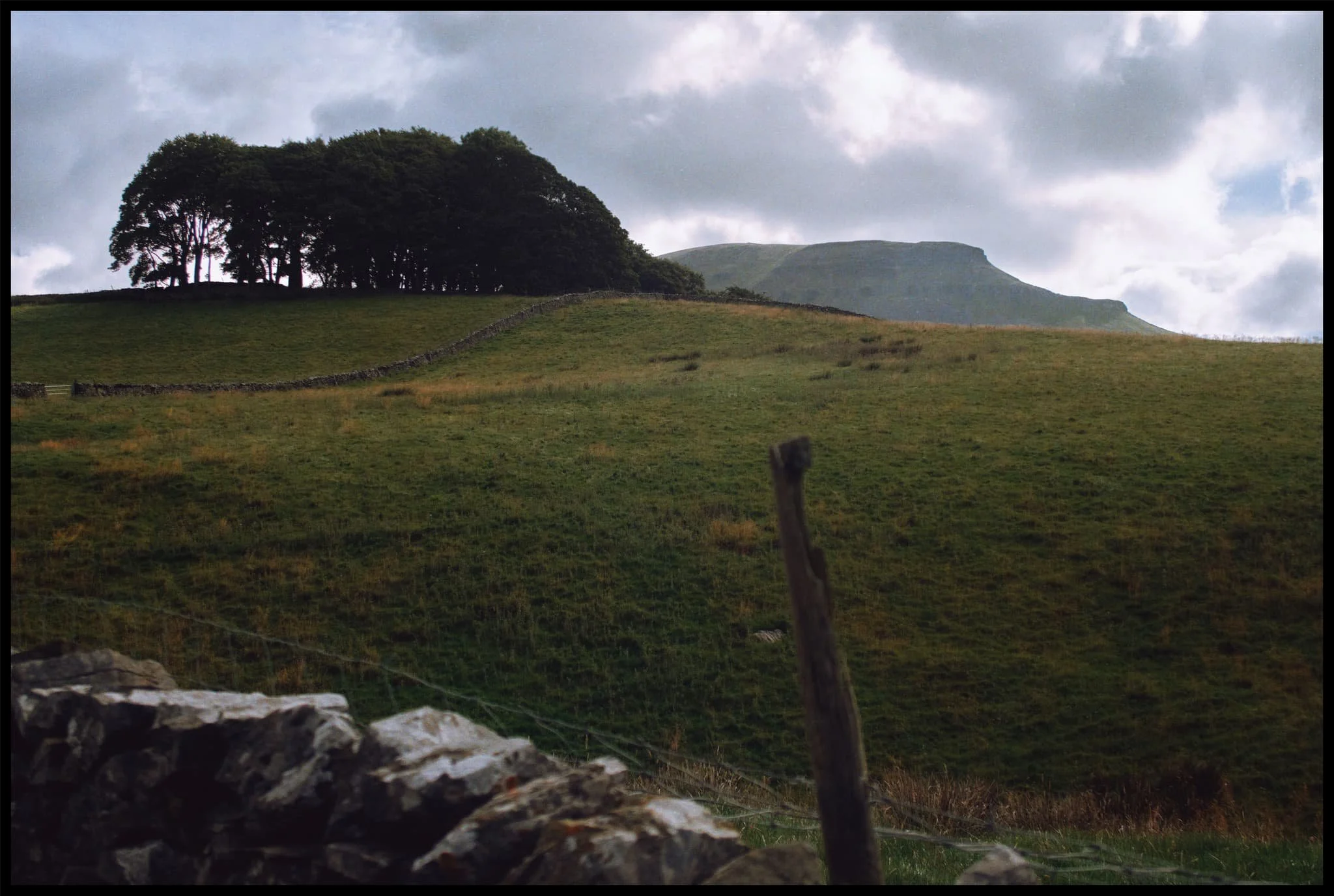
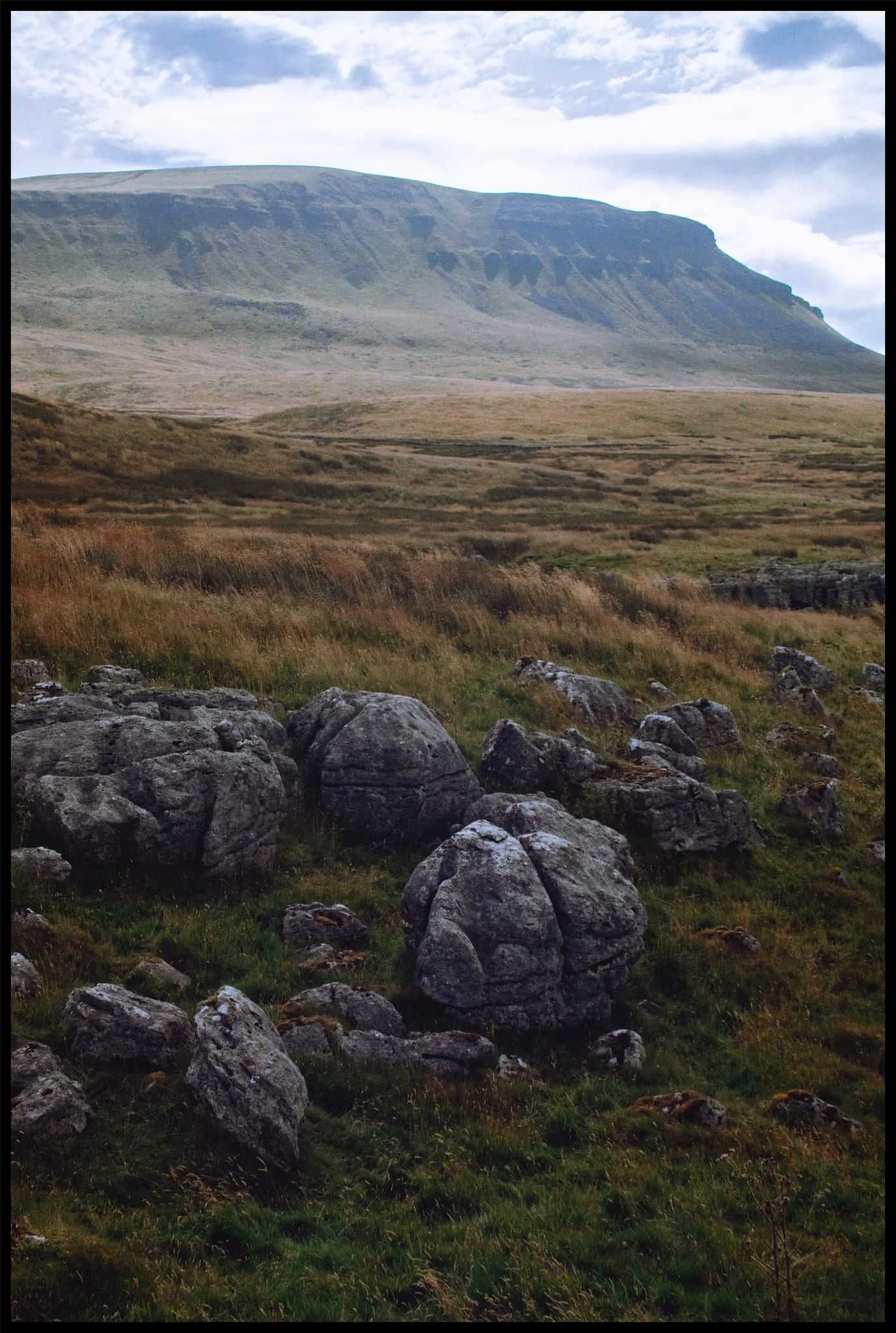
The first glimpse of Pen-y-Ghent’s unmistakeable shape comes into view.
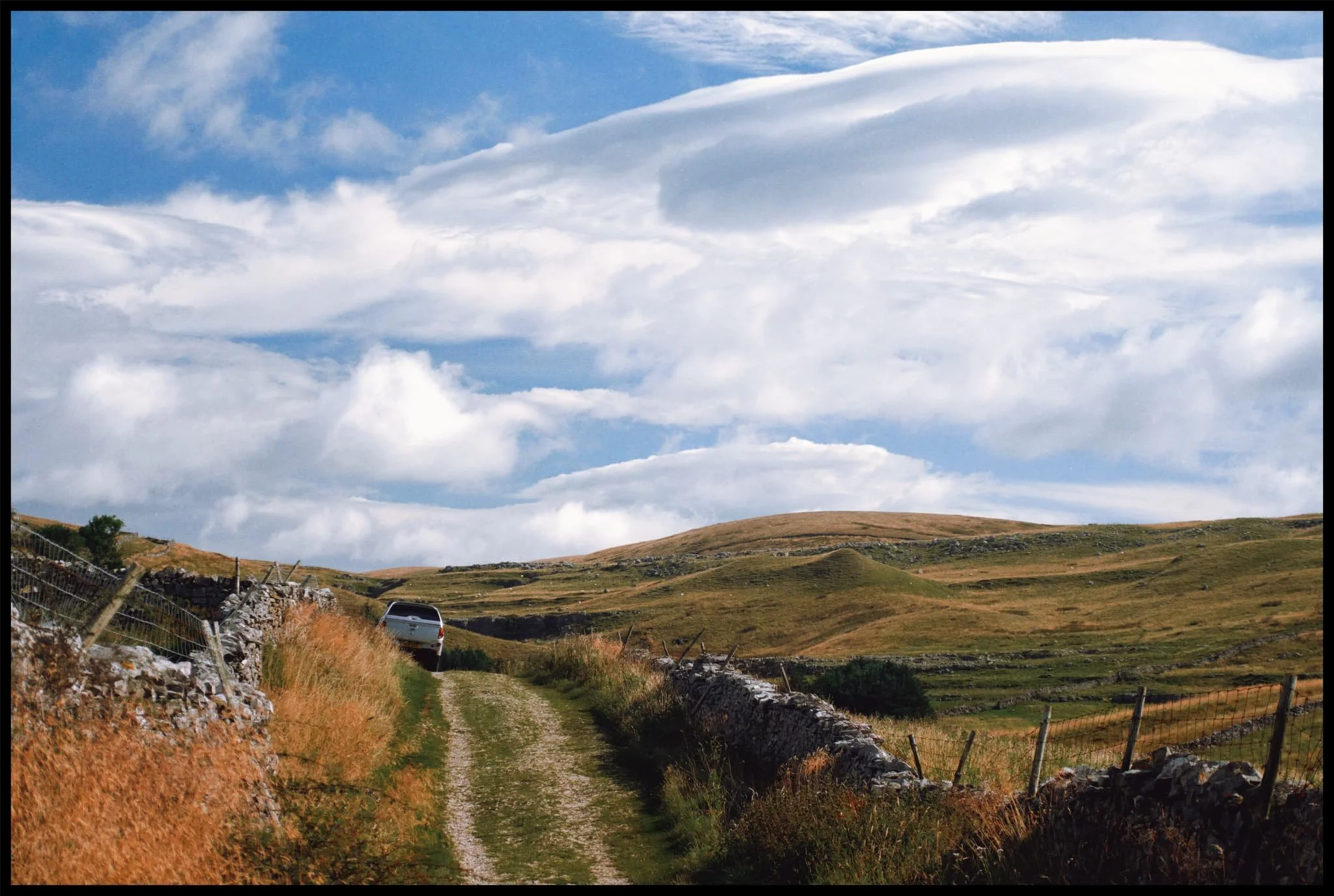
The clouds above us were ridiculously pretty, ranging from low-level fluffy clouds, high-level streaky ones and even some lenticular in between.
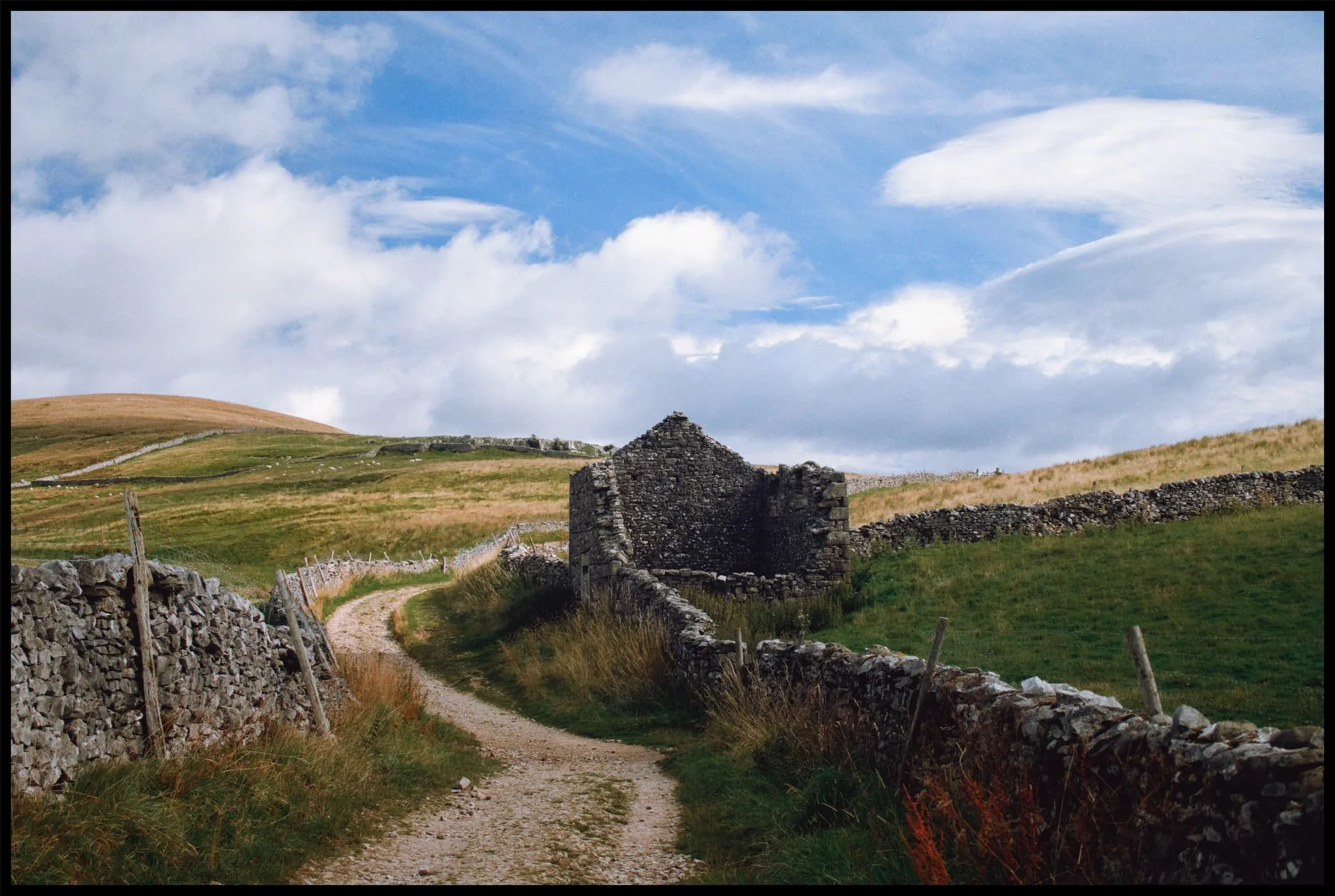
A dilapidated barn connecting to the drystone wall provides a perfect Yorkshire Dales subject for this gorgeous composition.
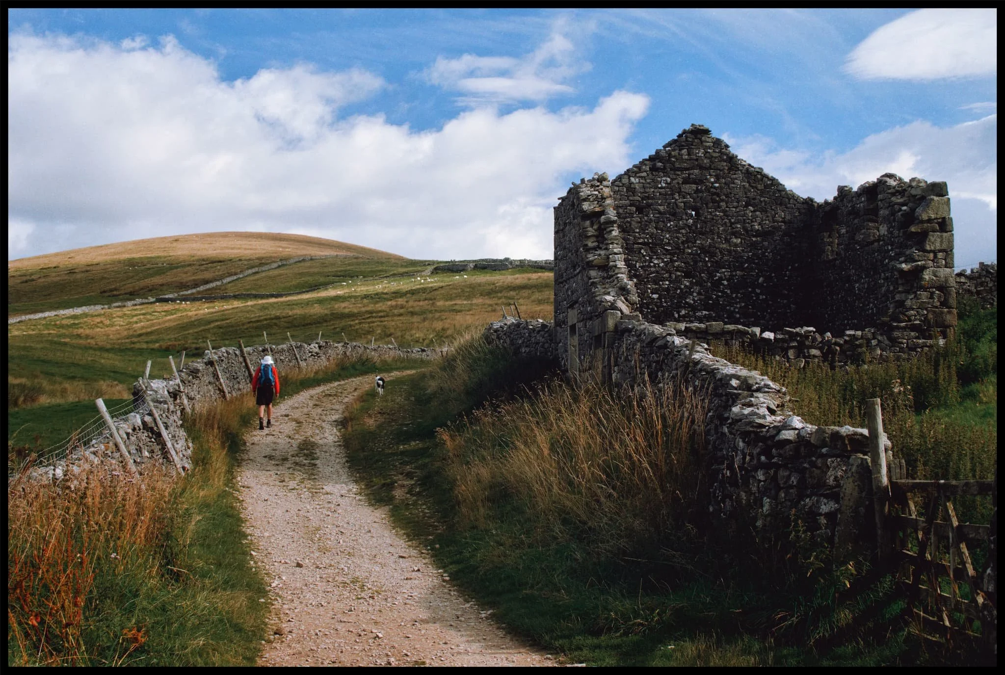
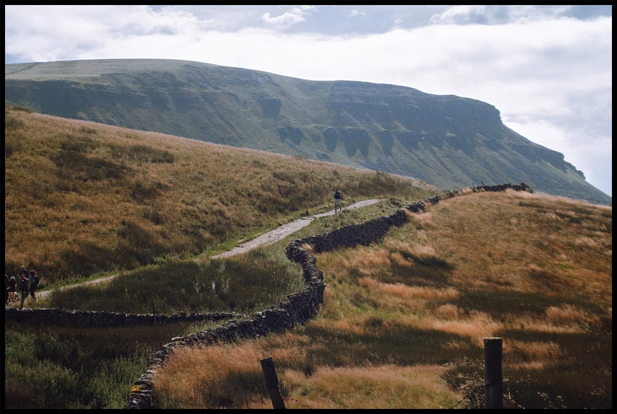
Though not busy, there were still plenty of people on the trail. Mostly heading to, and from, Pen-y-Ghent.
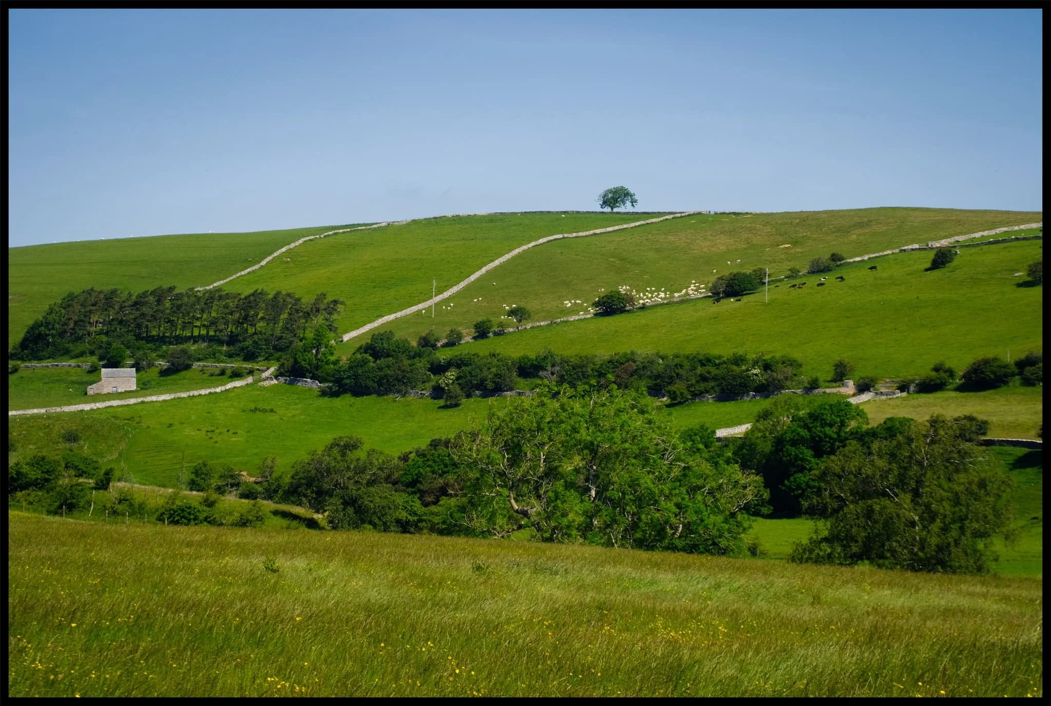
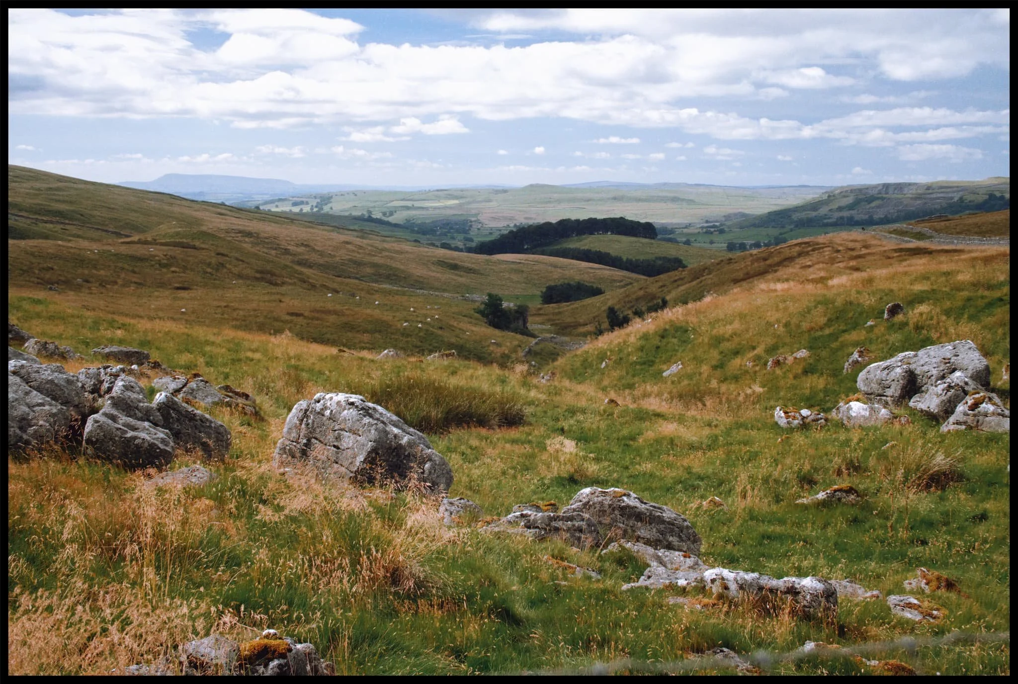
It’s always important to check the view behind you occasionally. Beyond the winding drystone walls, Smearsett Scar rises above the karst landscape.
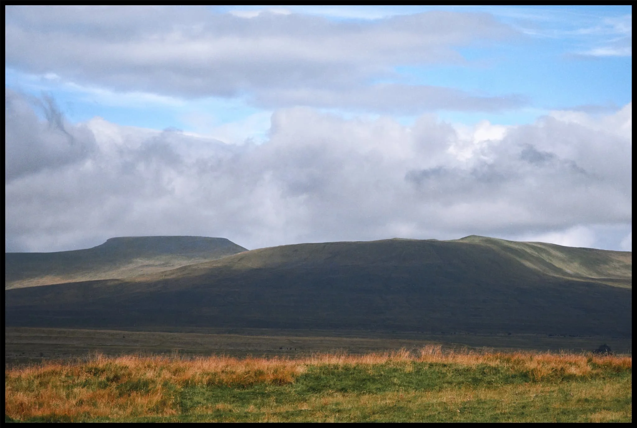
As the morning progresses the clouds burn off, revealing the flat-topped Ingleborough on the left with Simon Fell on the right.
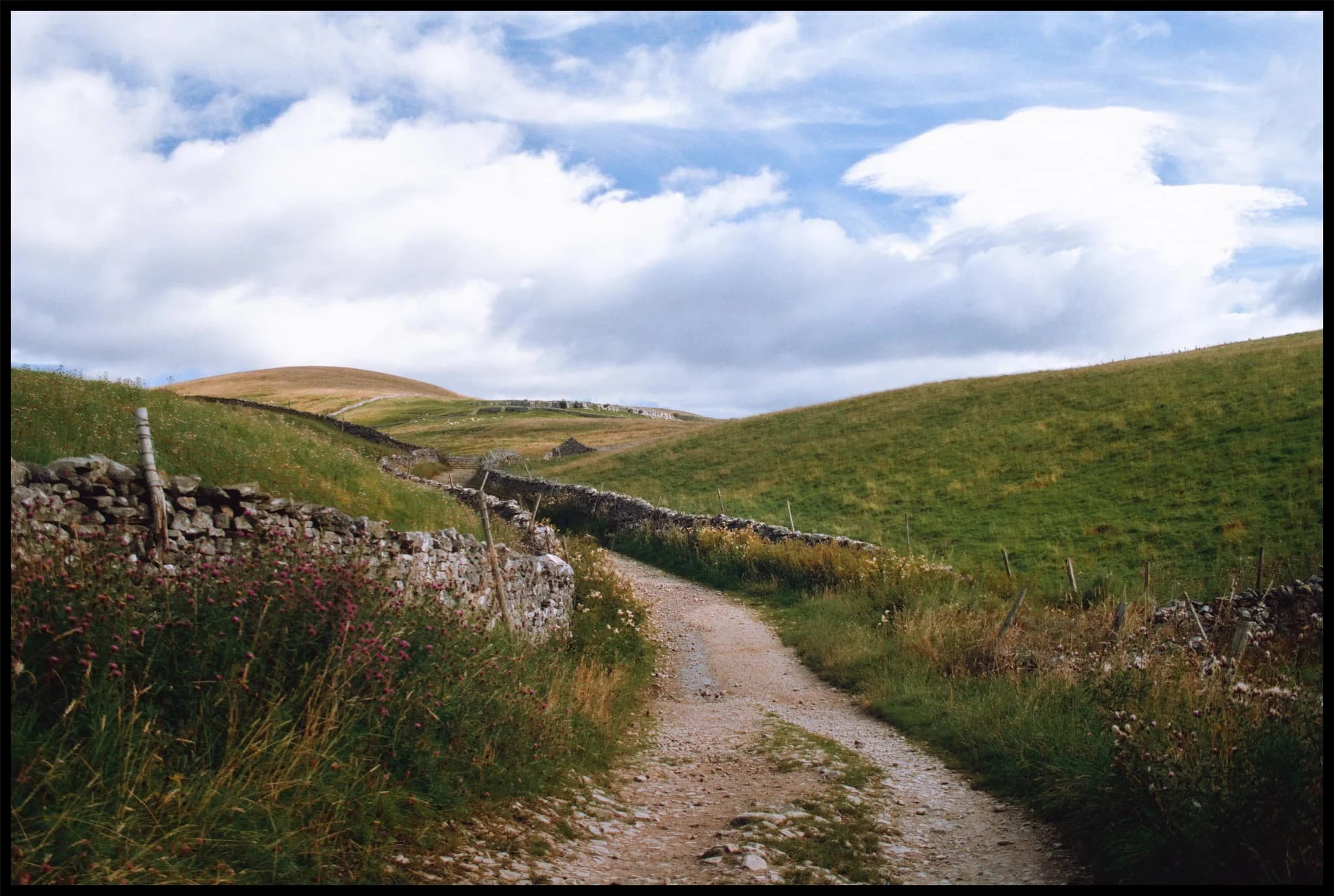
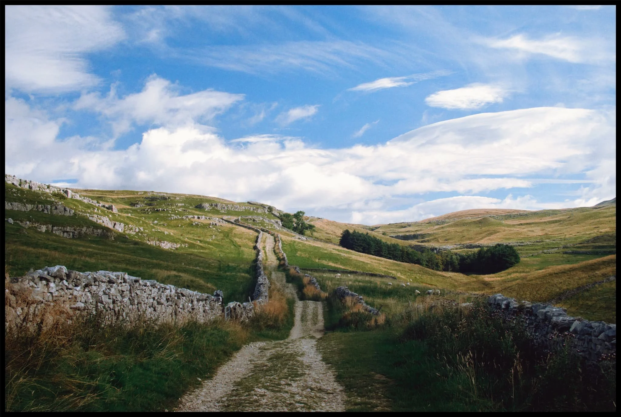
Painterly clouds like a mad genius’ brush strokes decorate the skies as we advance along the bridleway.
Around Horton Scar the path averages out in height at around the 400m asl mark. The light picked out the folds and ruffles in the landscape.
Fellow hikers make their way back down to the valley bottom after climbing Pen-y-Ghent.
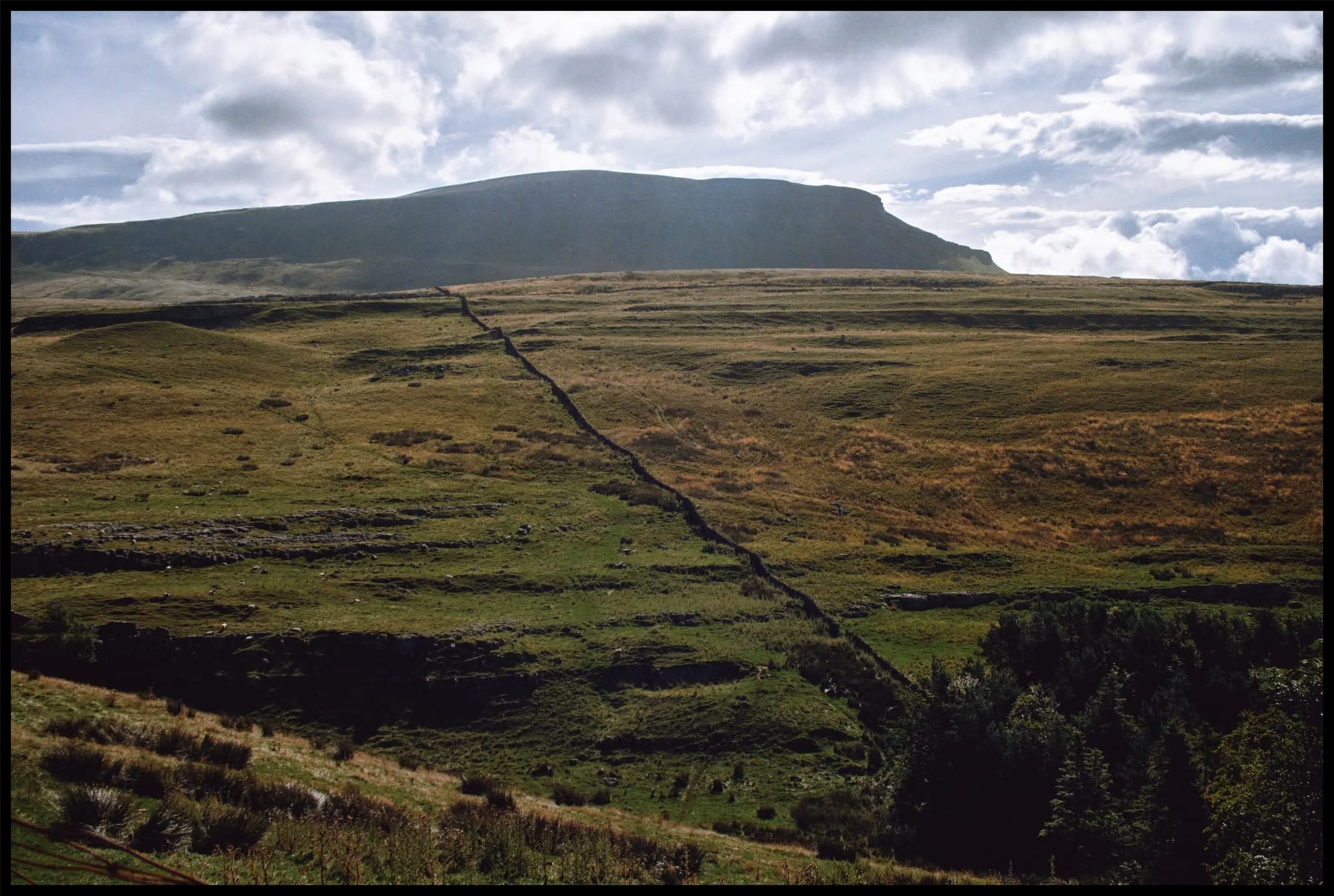
The western aspect of Pen-y-Ghent with its famous brow and “nose”. I enjoyed making this Z in the landscape using the drystone wall as it climbs up Horton Scar.
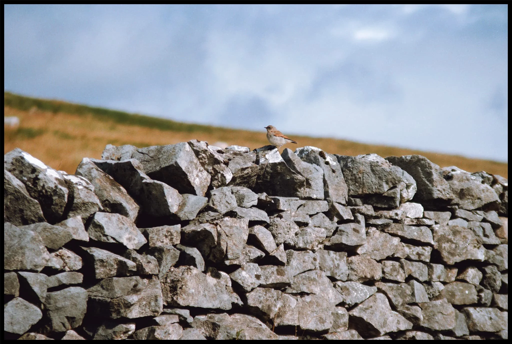
A female Northern Wheatear ( Oenanthe oenanthe ), seemingly unfazed by our presence and appreciation.
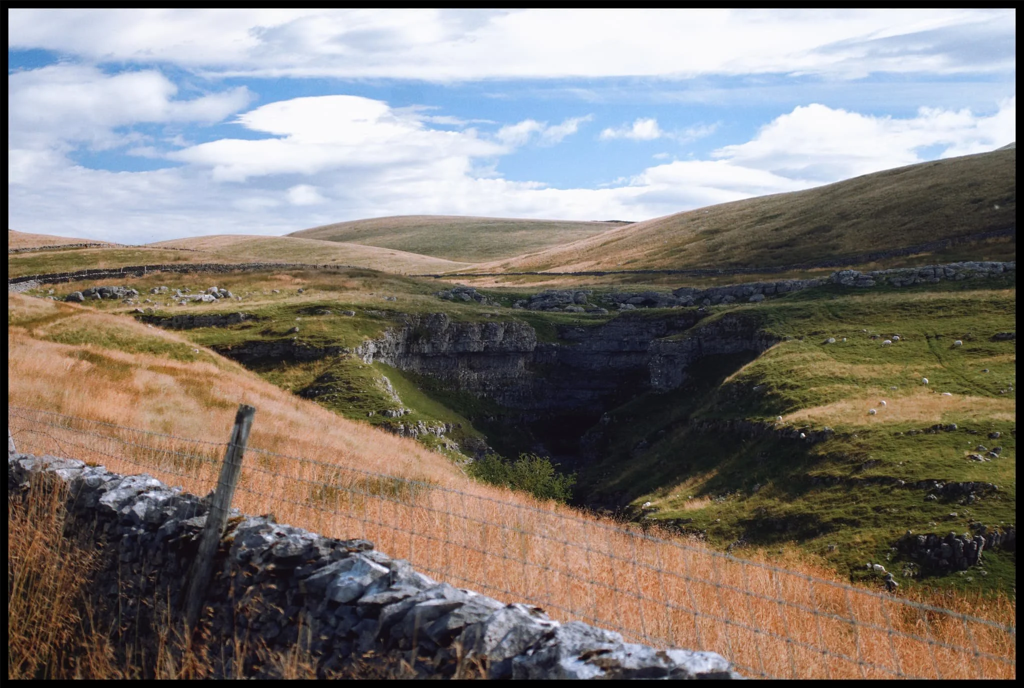
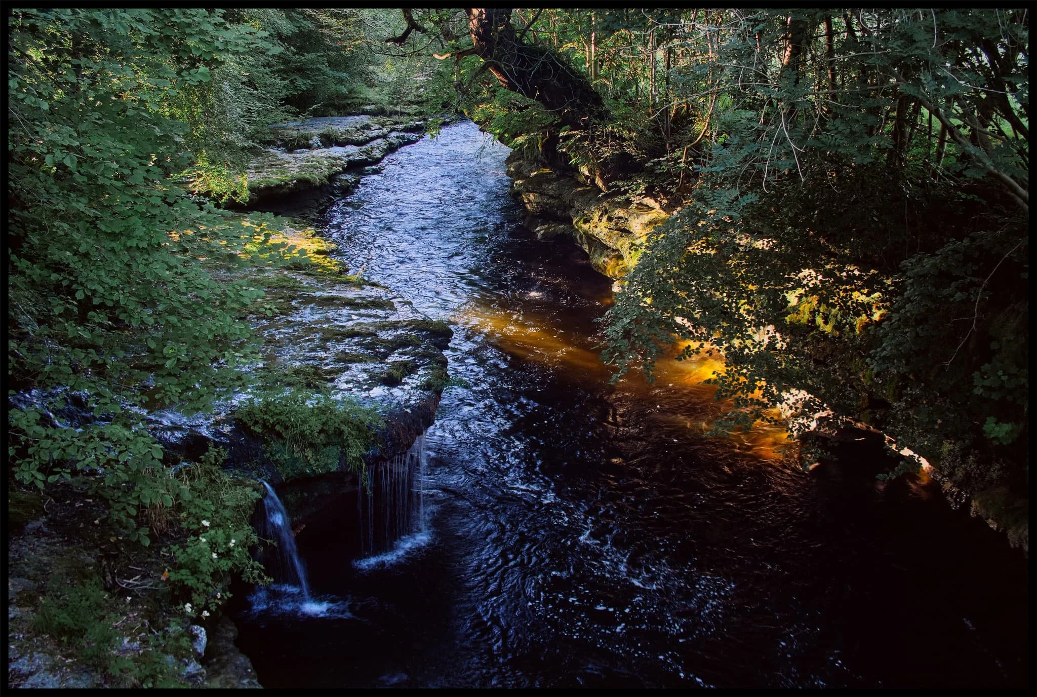
Another extinct waterfall, located at the head of Horton Scar. There are many of these in the Yorkshire Dales. The rivers that feed these waterfalls usually break down the limestone riverbeds and valleys they create before heading underground, leaving the waterfall to dry up.
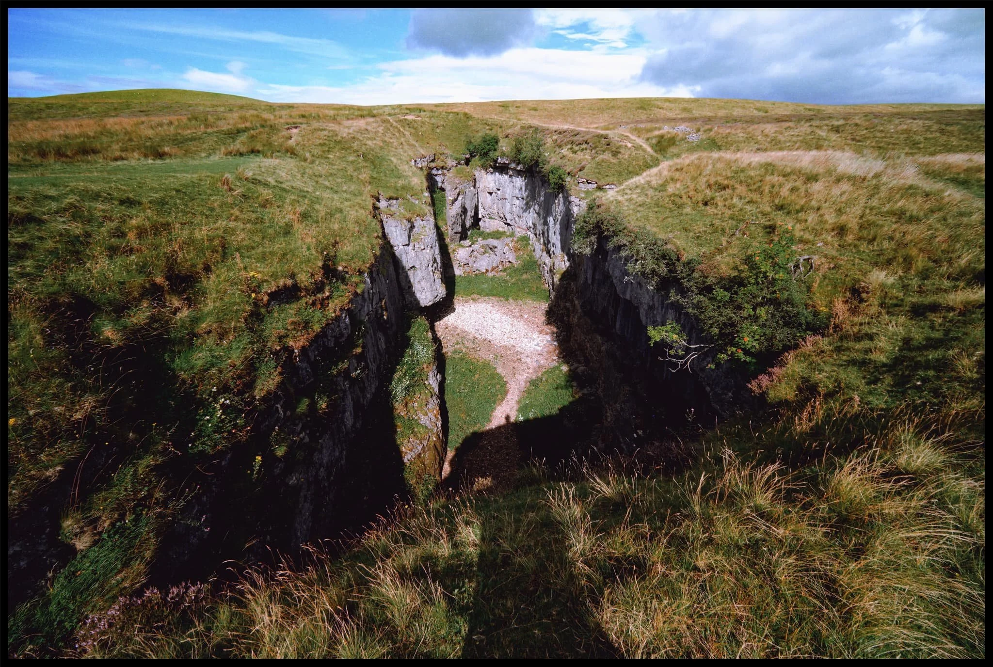
We arrive at Hull Pot. With my 9mm ultra-wide lens equipped, I shot this expansive view of the 60ft chasm from near its eastern edge. From the edge you can actually hear the rushing of a waterfall.
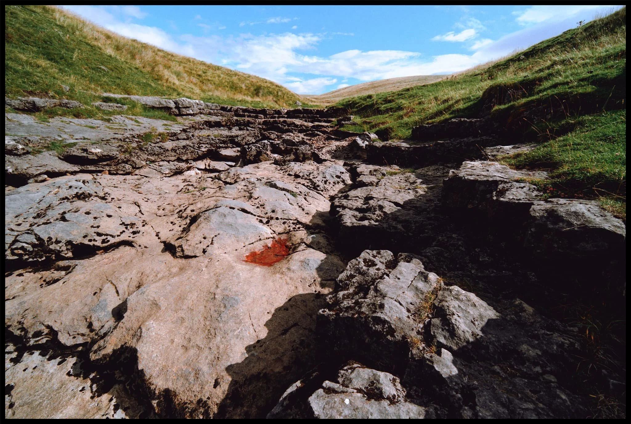
This is Hull Pot Beck. In times gone this river would flow over the lip of Hull Pot, crashing down as a large waterfall . These days it’s mostly dry except during times of heavy rainfall, as the water now sinks underground further up the river.
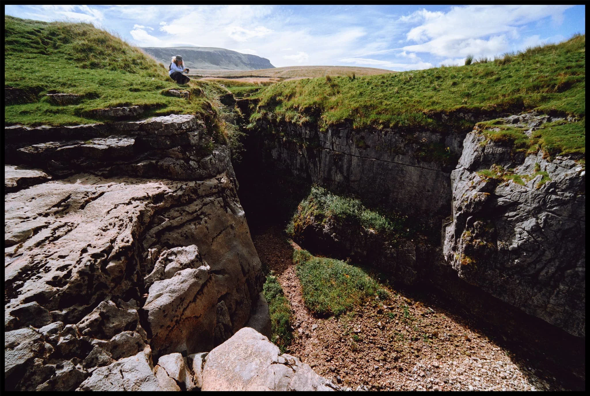
Lisabet and I played around the edge of the “waterfall” and Hull Pot, finding compositions. In the distance is Pen-y-Ghent, always watching.
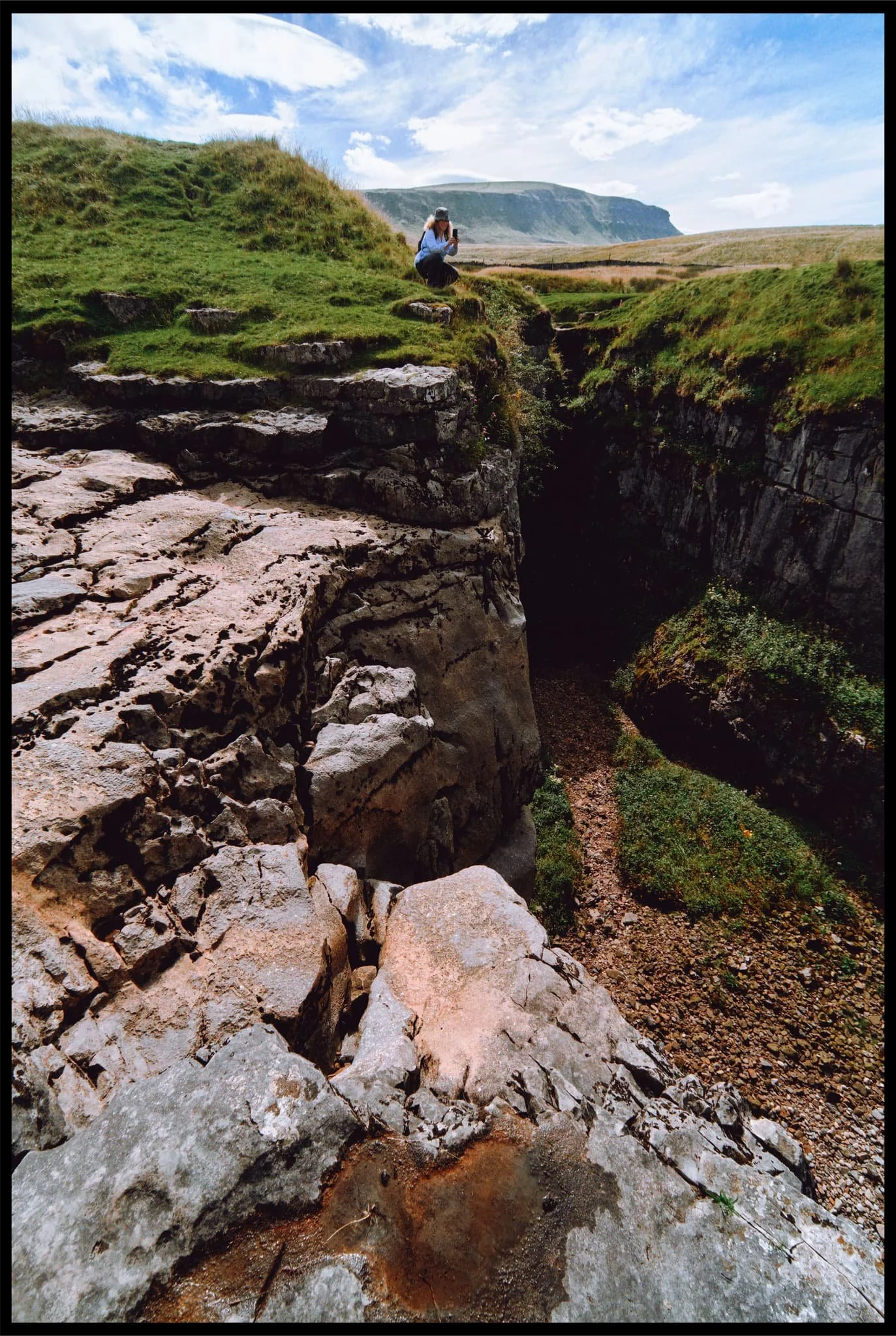
Weird to think that this composition would, in ancient times, mean standing at the precipice of a large roaring waterfall.
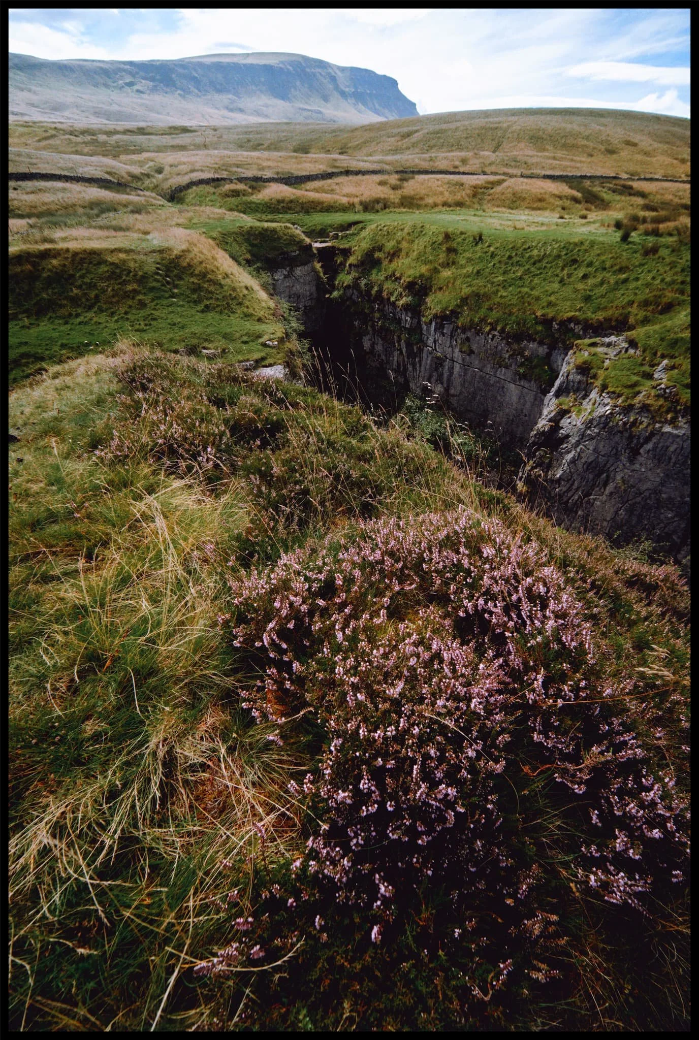
As we move into late summer, beautiful pink and magenta heather starts to bloom.
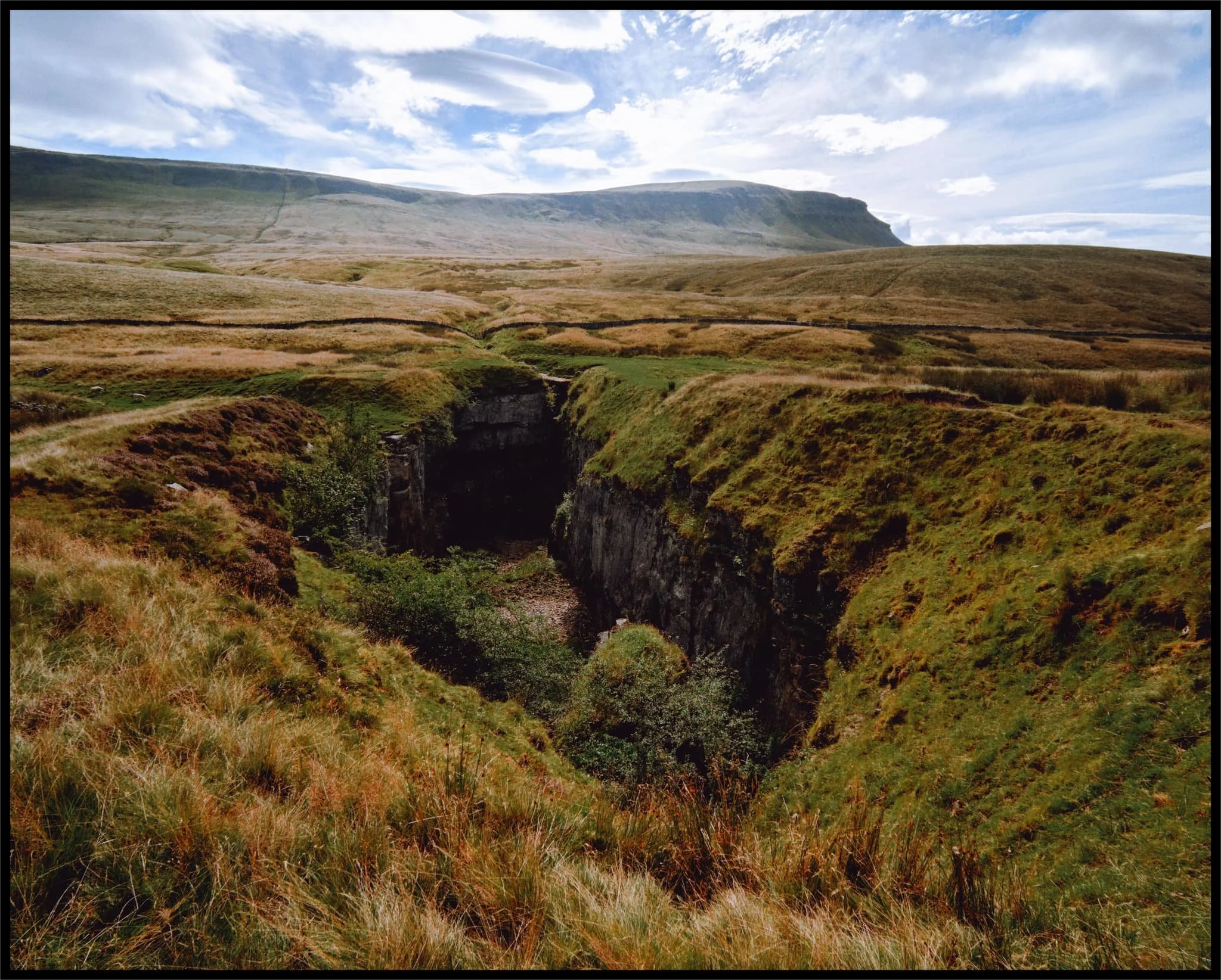
My favourite composition in the area: the chasm of Hull Pot with Pen-y-Ghent rising high above.
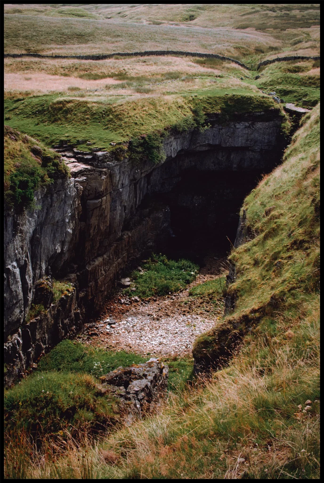
The 50ft+ sheer walls of Hull Pot. In the darkness there is actually a waterfall that rushes out of the caves at the bottom of this chasm.
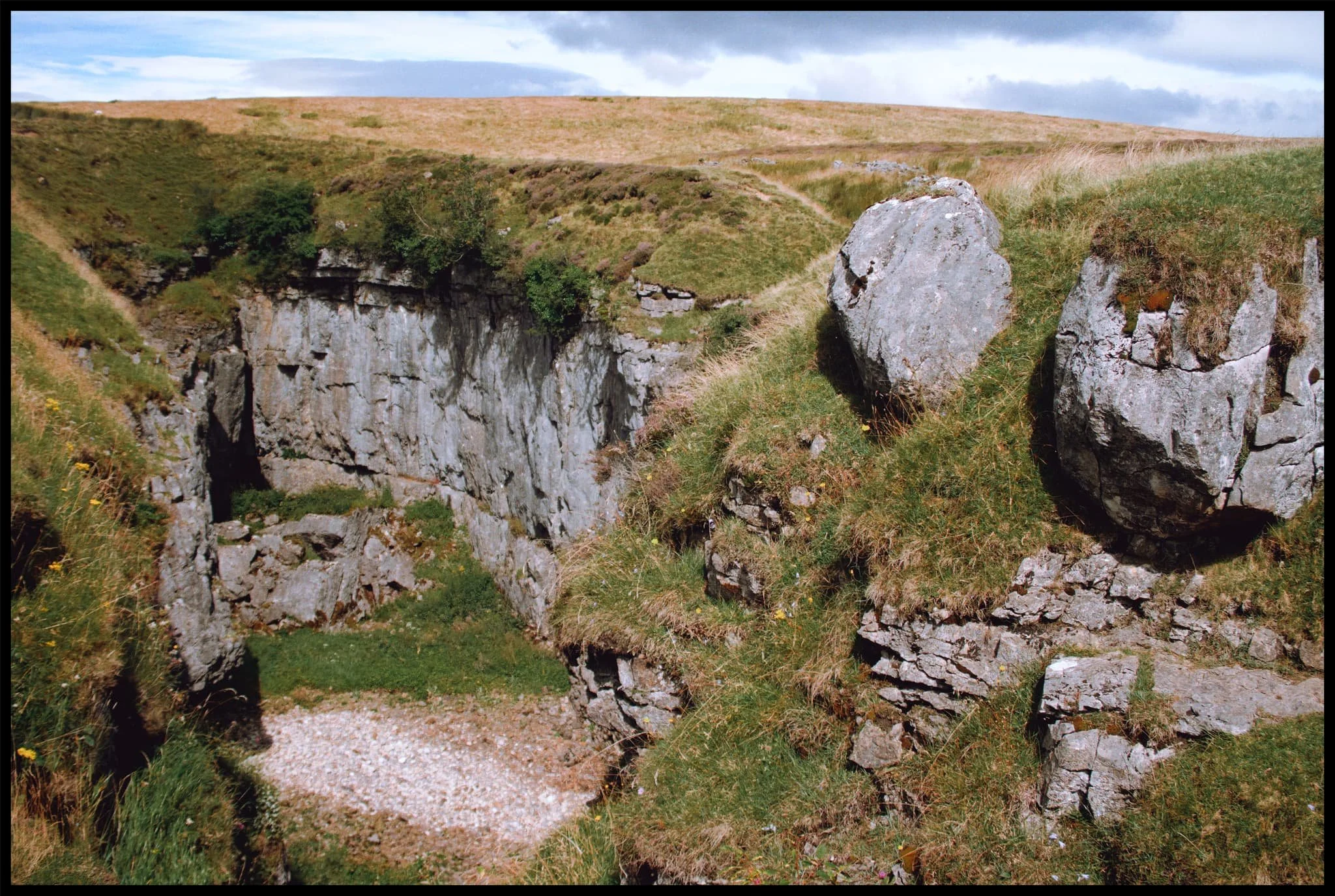
After a spot of lunch perched on the lip of Hull Pot’s eastern end, I snap one last photo of the chasm before heading back.
The Pennine Bridleway continues up towards Pen-y-Ghent, the common route to summit the fell.
The atmosphere was wonderfully clear. From above Horton Scar we could see all the way to Pendle Hill in Lancashire, here towards the left of the photo.
The characteristic “rakes” that line the shoulders of Pen-y-Ghent were revealed after a frightful storm in the 19th century washed away a lot of top soil from the fell.
Nearly back at Horton in Ribblesdale. What a beautiful day.