
We’re in the Peak District for a fortnight!
The last time we explored the Peak District was way back in May 2015. Even then, it was only for a long weekend.
After a gentle Saturday spent enjoying the sights and sounds of Buxton, we embarked on a more strenuous Sunday; a 10km hike along the Roaches to the summit, then down into Back Forest to explore the chasm of Lud’s Church.
20,000+ steps, 1,184 ft of ascent and 1,178 ft of descent. My feet are paying the price.
Totally worth it though.
All photos shot on my Sony α7ii using my Sony FE 28–70mm f3.5–5.6 OSS zoom and Rokinon 14mm f2.8 ED AS IF UMC prime lenses. RAWs developed in Capture One for iPad, finalised in Lightroom for iPad.
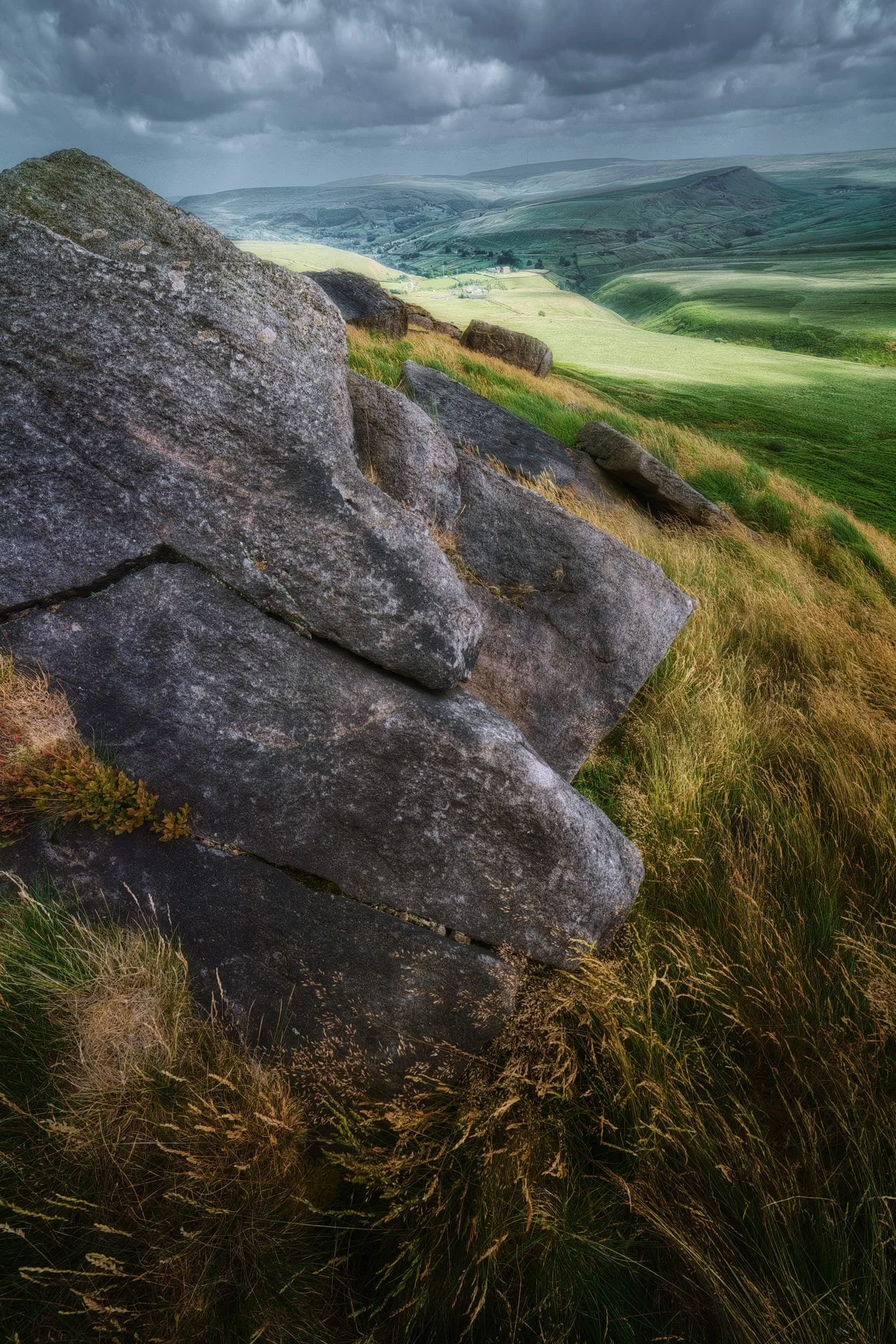
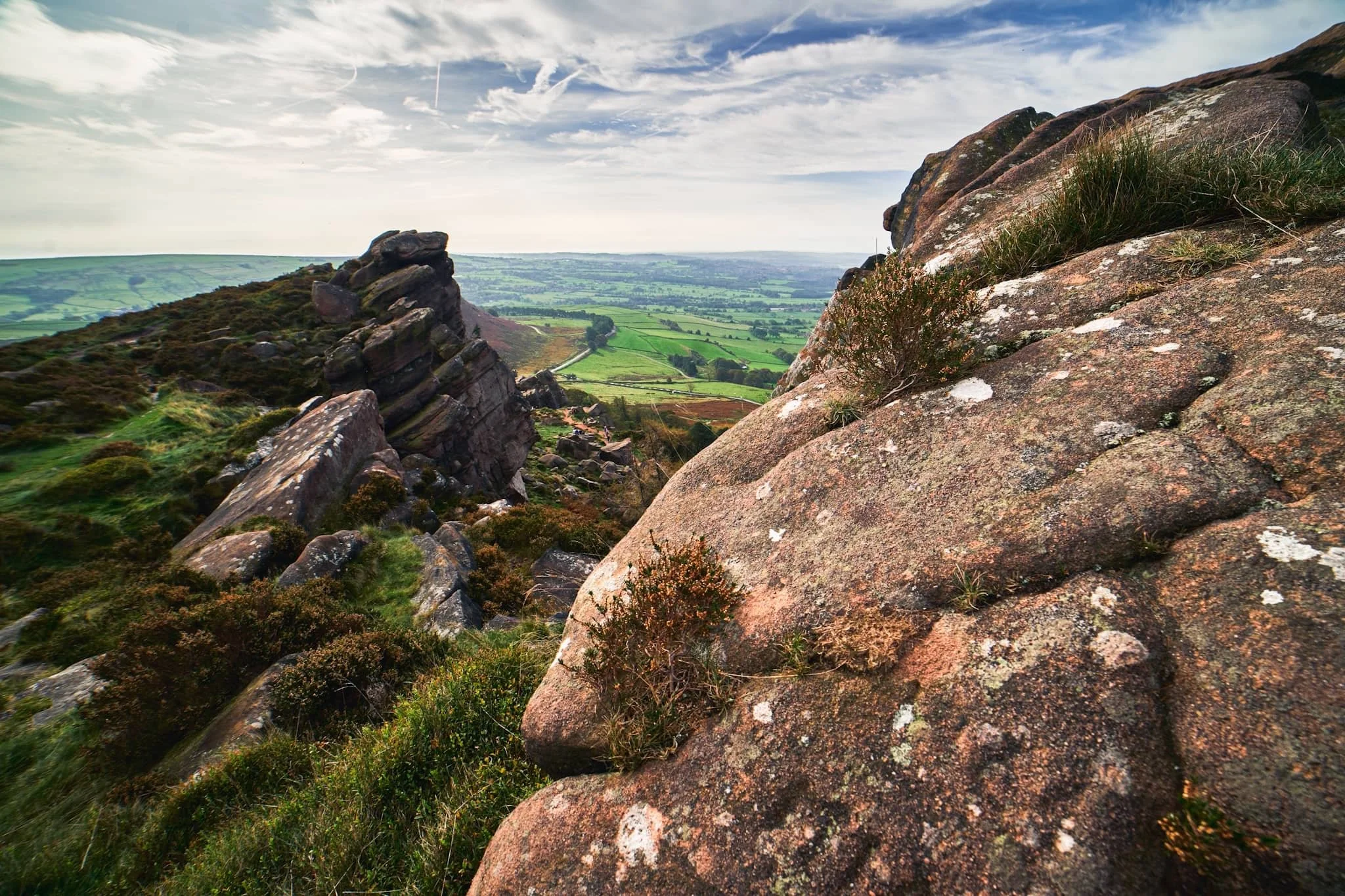
The steepest and most sheer of the Roaches’ crags are at the southeastern end. In the distance, the pyramidal shape of Hen Cloud (410 m/1,315 ft) can be seen, an outlier of the Roaches separated by a col.
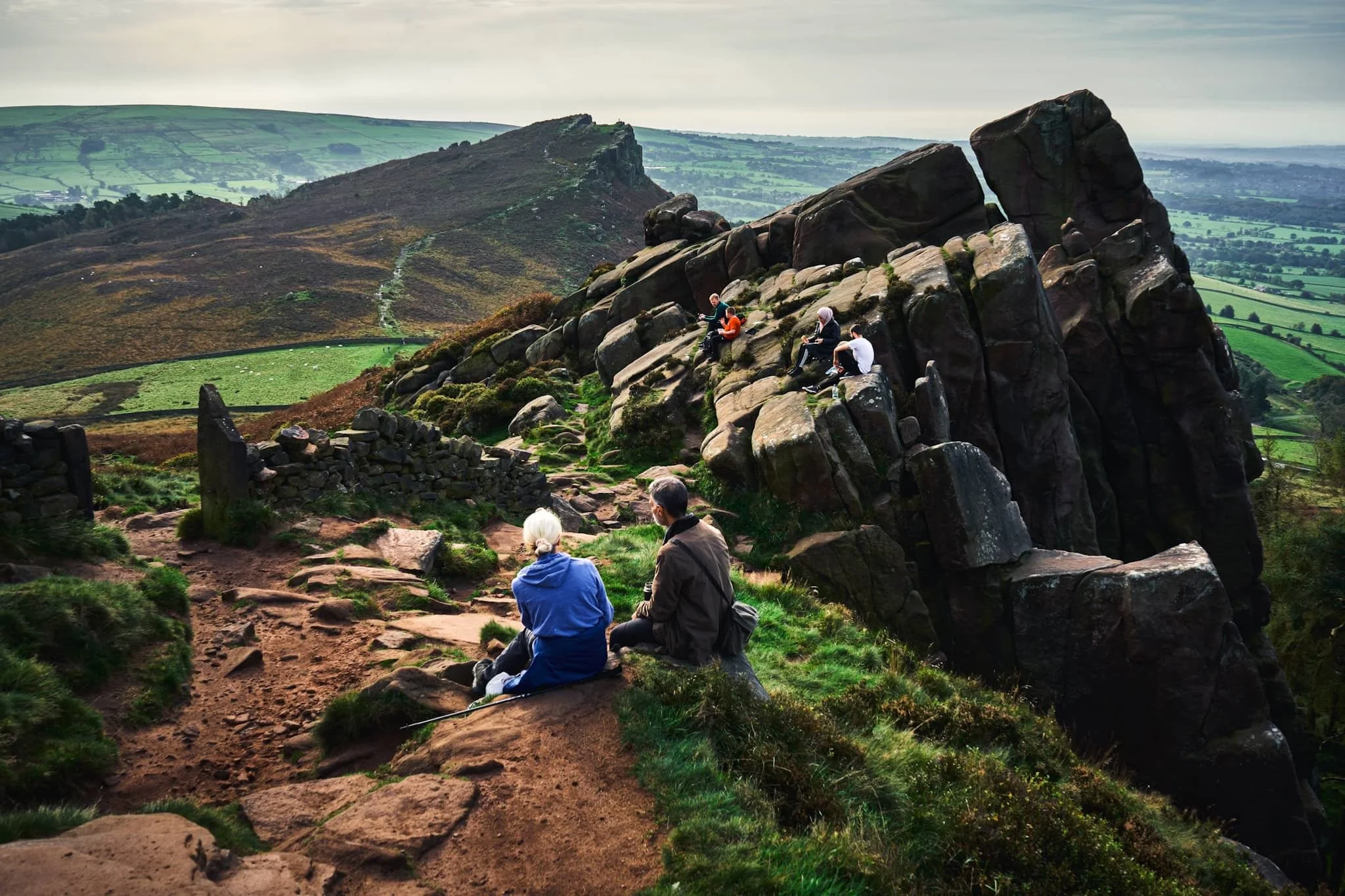
The Roaches are especially popular at the weekends. It’s easy to see why. Apart from hikers and freerunners, these crags attract climbers and boulderers seeking challenging projects to tackle.
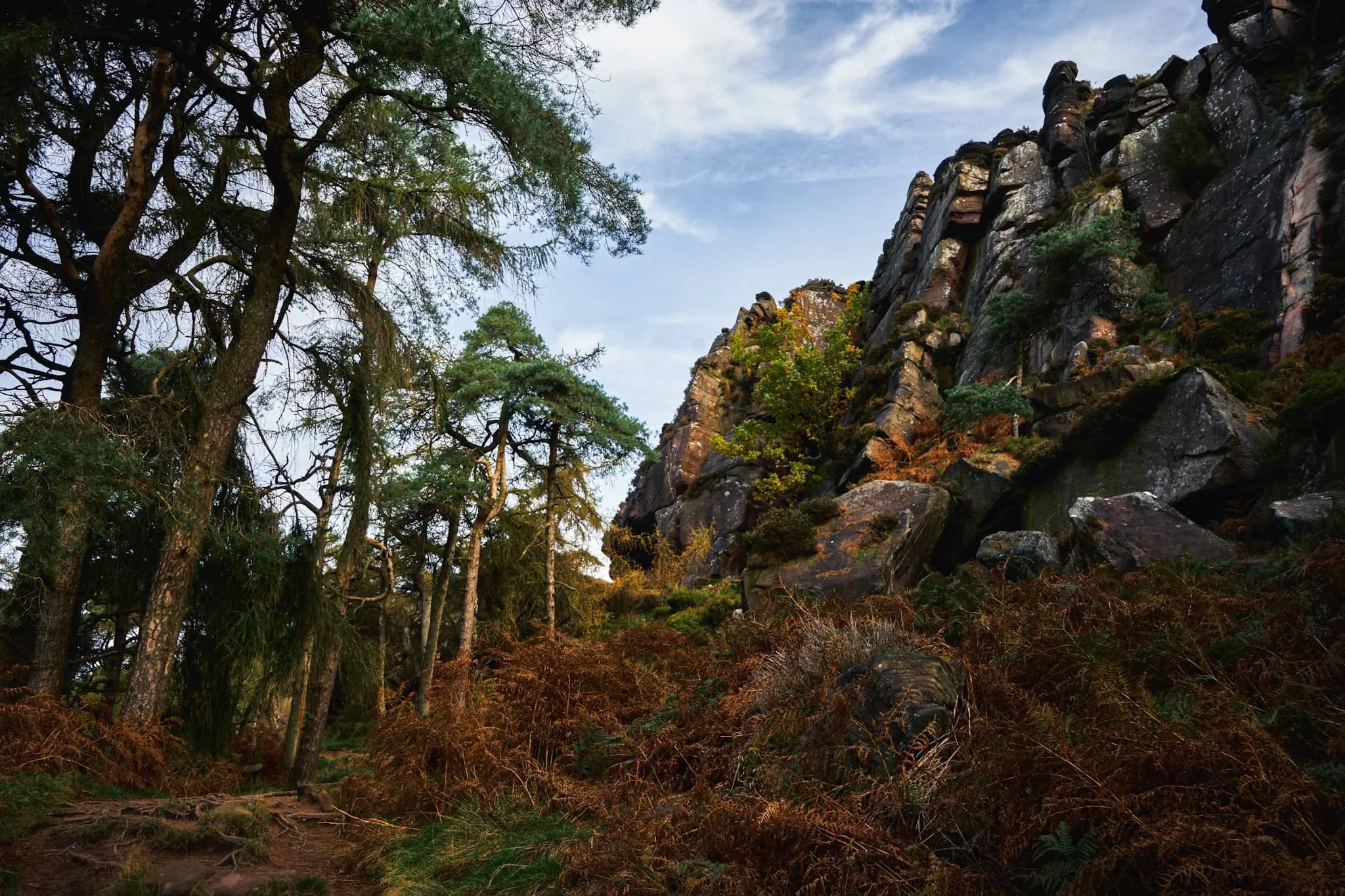
To get on the trail above the Roaches, we followed the smaller trail below them and through this beautiful autumnal woodland, once the site of an old quarry.
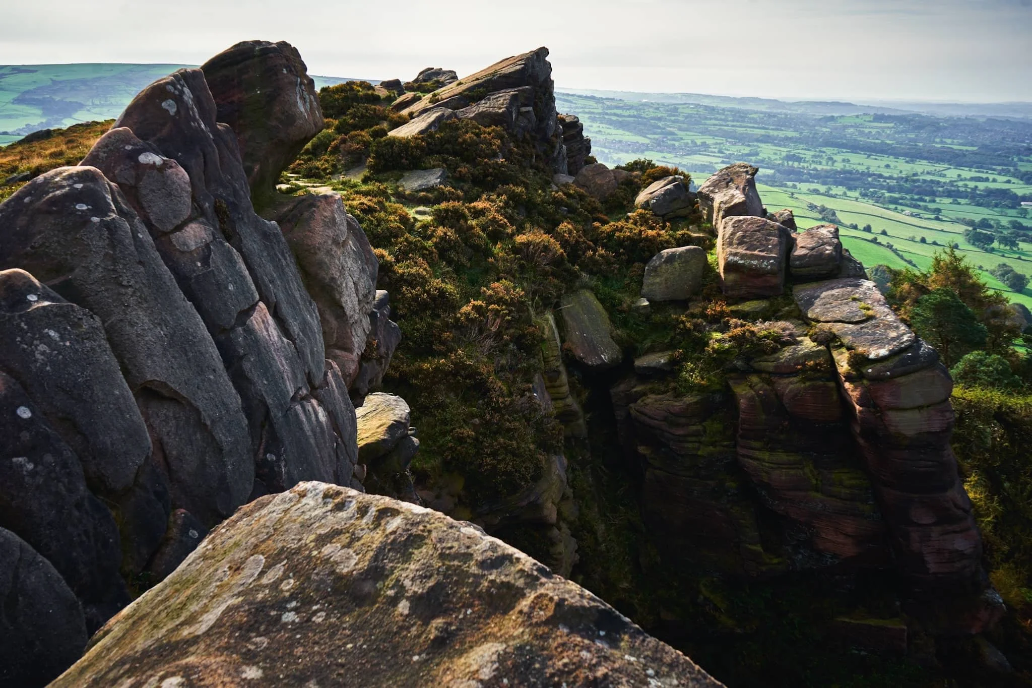
It’s a long way down. Although the day was hazy, and unreasonably warm for an October day (20ºC), the views from the Roaches are extensive.
Looking northeast towards the Five Clouds, with a sheer drop down to the valley in front of me. Beautiful autumnal colours are just starting to emerge.
The name of this area, the Roaches, comes from the French les roches, meaning “the rocks”. These crags are made of a coarse sandstone called gritstone, deposited millions of years ago as part of an ancient river delta. Over time the surrounding landscape eroded away, leaving these isolated crags standing tall.
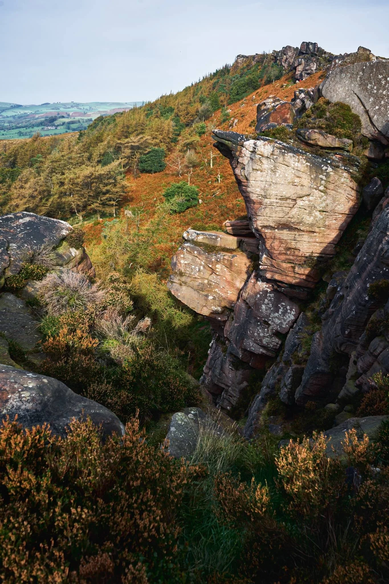
From the summit, 505 m above sea level, the 360º views are extensive. Beyond these crags you can make out the smaller ridge above Back Forest.
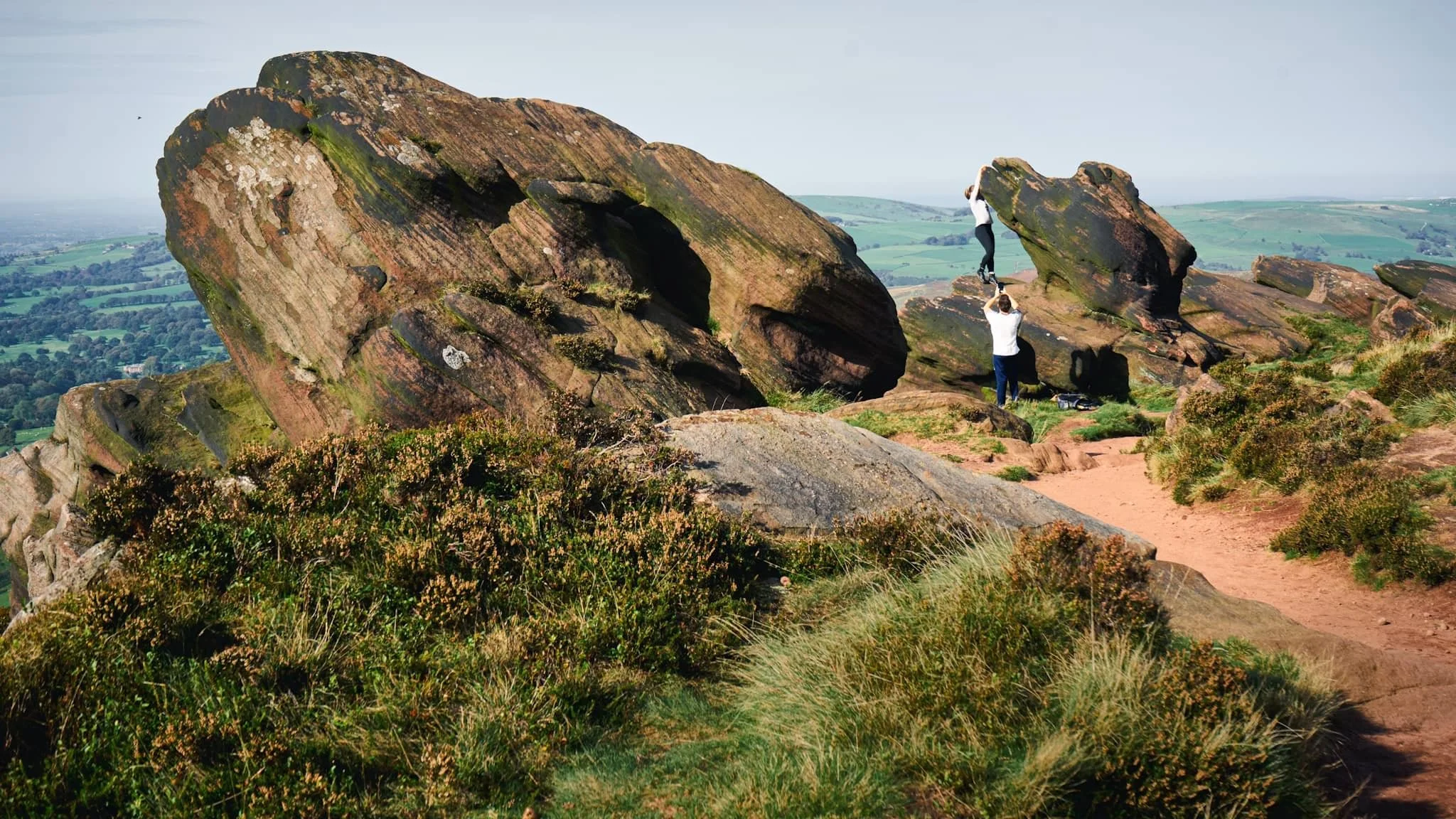
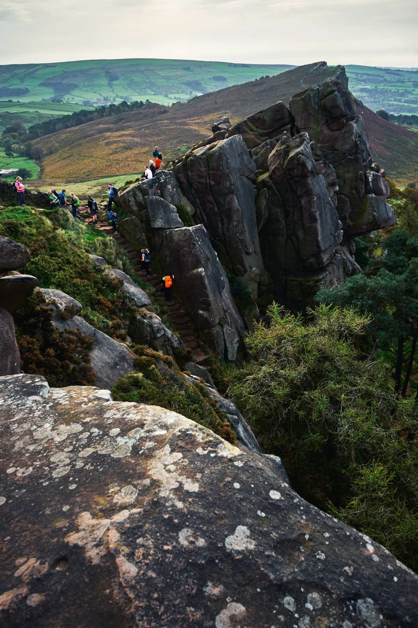
Passing through the crags on our way down to Back Forest, I spot a young couple staging a precarious “cliffhanger” for a photo.
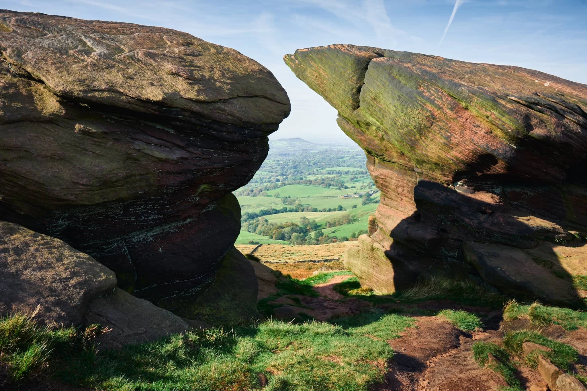
These two windswept crags provided a wonderful frame of the distant hill towards Congleton.
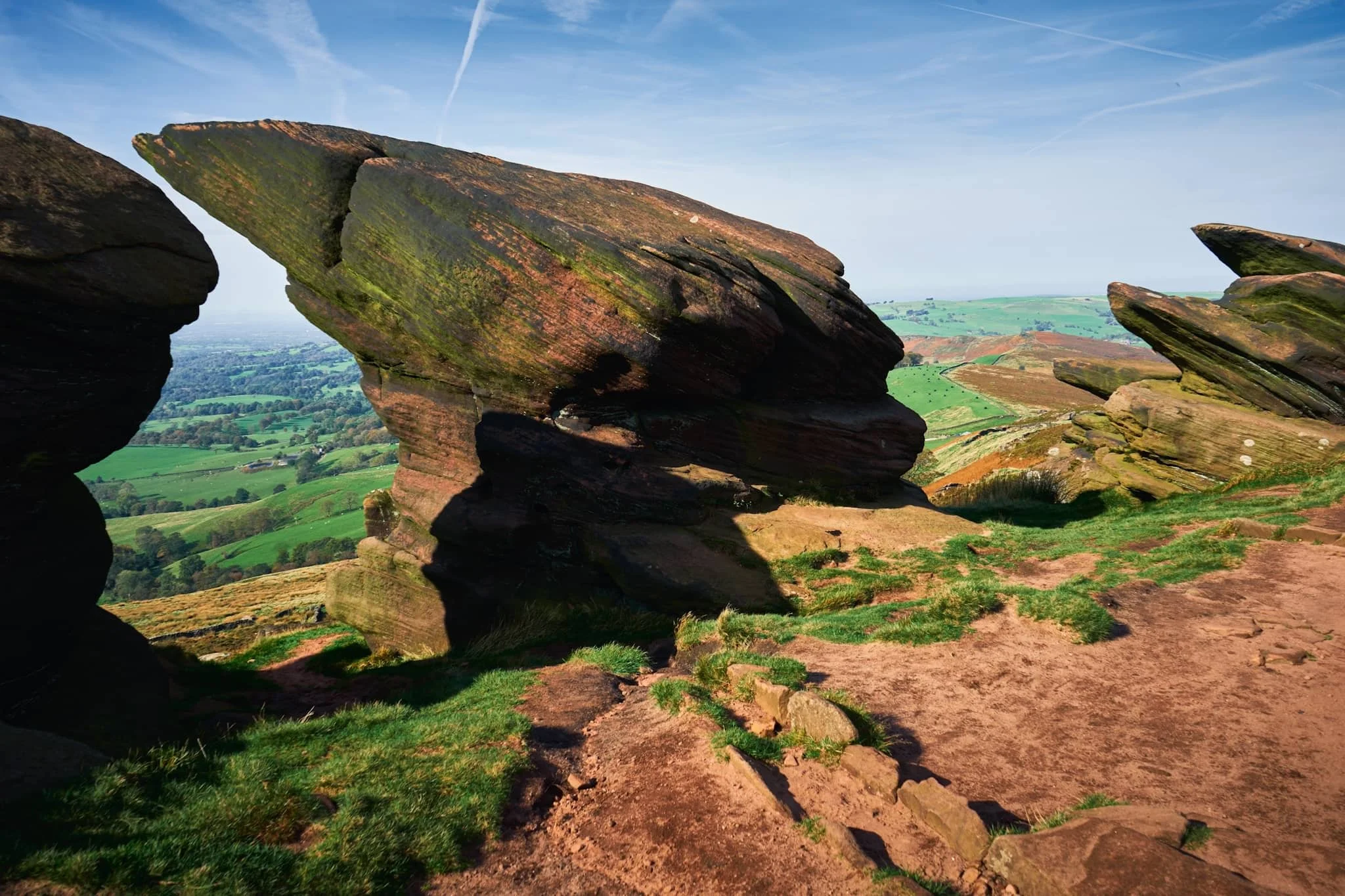
The last of these overhanging crags must provide a wonderful challenge for boulders and climbers.
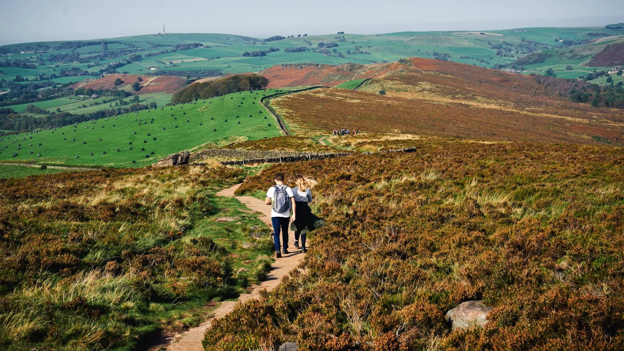
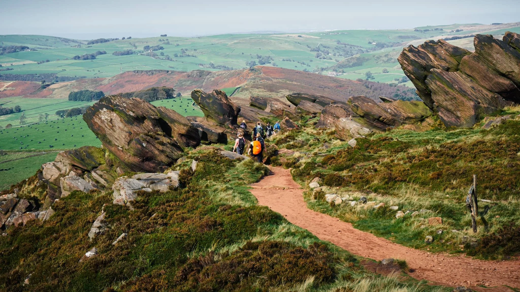
Our route involves a sharp drop down to the col. At this point, we’d follow the trail down to Back Forest. Our next destination was the epic Lud’s Church.
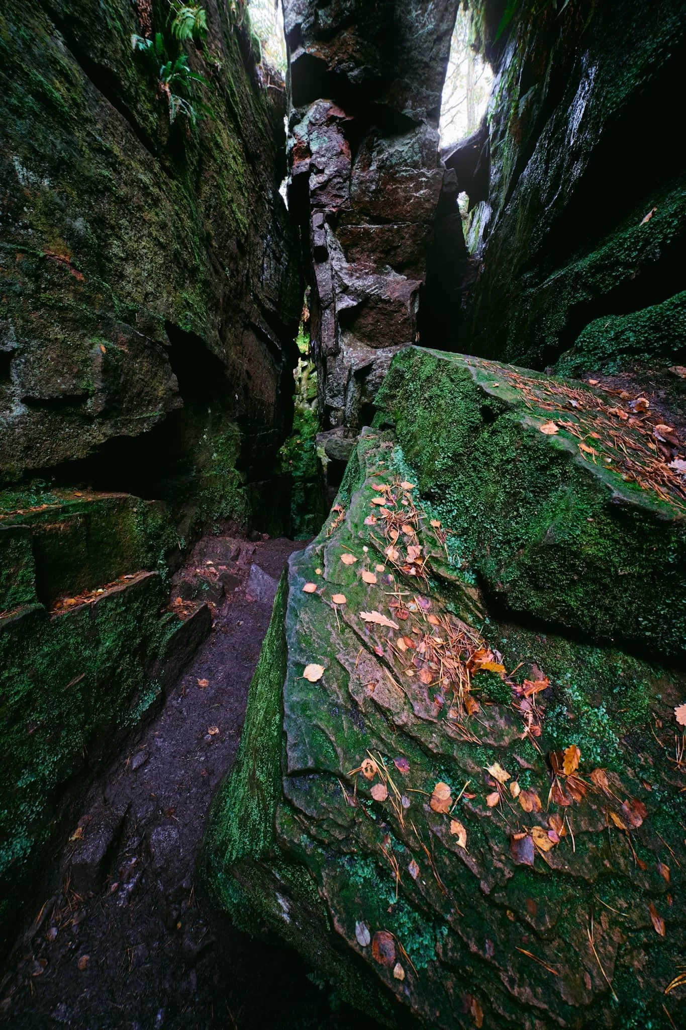
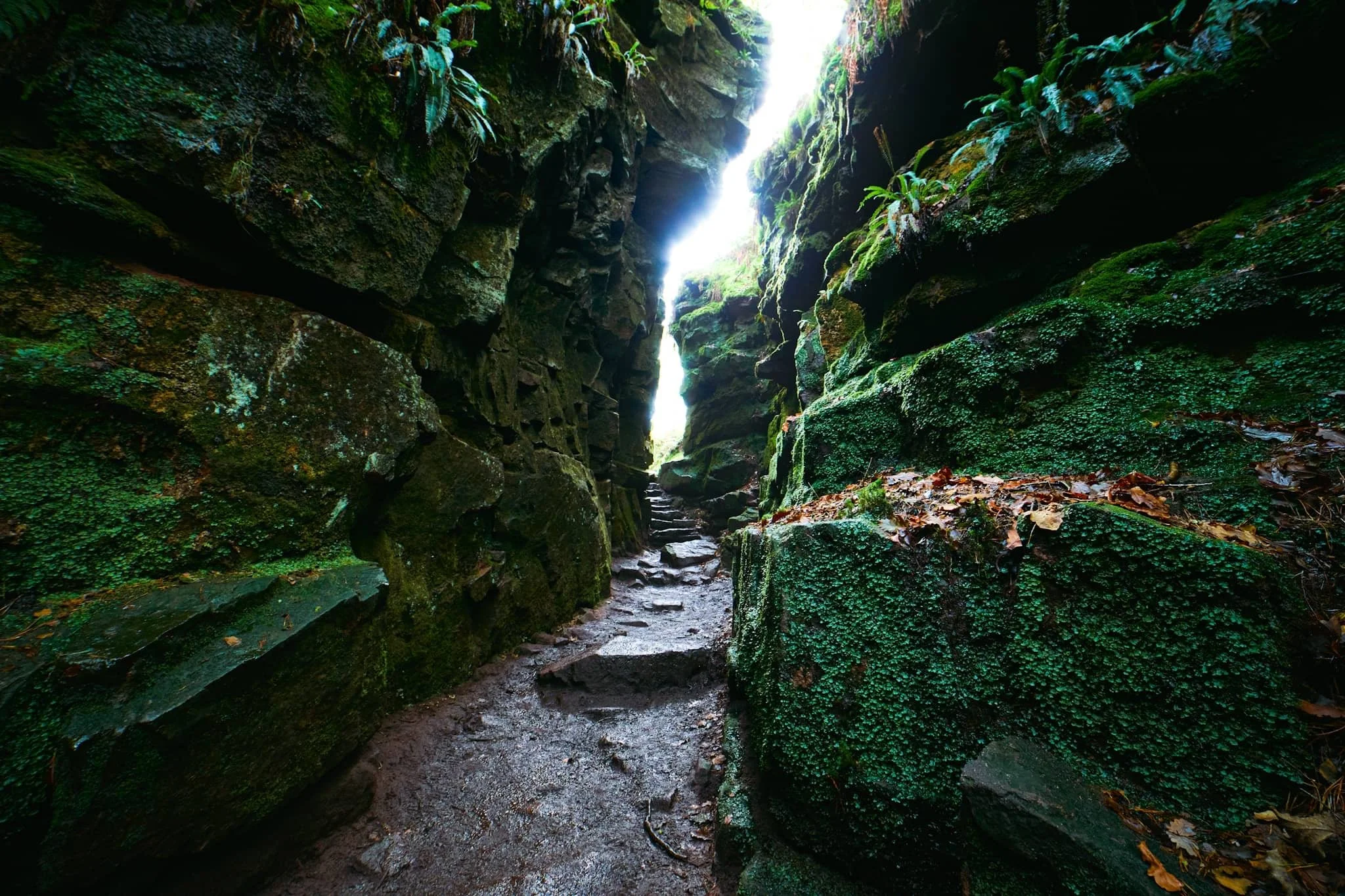
We gingerly navigated the extremely muddy path through Back Forest until, eventually, we found the way down to the chasm of Lud’s Church. Before getting down to the bottom, a small slot to the side catches my eye for a photo.
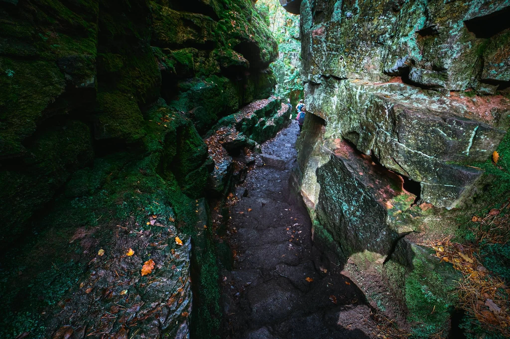
And here, we’re down to the bottom of Lud’s Church. This is a 60ft chasm in the woods of Back Forest, caused by a huge landslip in the Gritstone bedrock. Even on a warm October day, Lud’s Church is wet, dark, and refreshingly cool. It is also rather muddy.
You may be wandering about the name. This chasm has Christian history. A group of Christian reformers, the Lollards, apparently used this place to worship in the early 15th century. It may have been named after a Walter de Ludank/Walter de Lud-Auk, who was captured here at one of the aforementioned “services”.